Gauge Conditions
Runnable: ? – ? CFS
Approximate - nearest available gauge. Use as general reference only.
Data from American Whitewater & USGS
Photo
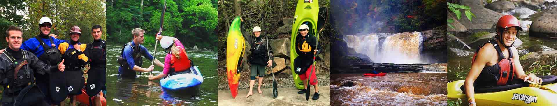
Photo courtesy of American Whitewater
Description
Put In rapid marks the starting point for this river run, with potential challenges from the coal loading facility infrastructure and potential debris. Paddlers should carefully scout entry points and be aware of potential industrial remnants or obstacles near the shoreline. The proximity to the loading area may require extra vigilance and precise navigation at the river's entry point.
Location
Other Rapids on This Run (1)
View Full Run
1. Coal loading facility at base of Ligias Ridge to Hwy 62
Emory
II-IV
14.7 mi
Current Conditions
5-Day Forecast
Whitewater data from
American Whitewater
American Whitewater