Gauge Conditions
Runnable: ? – ? CFS
Approximate - nearest available gauge. Use as general reference only.
Data from American Whitewater & USGS
Photo
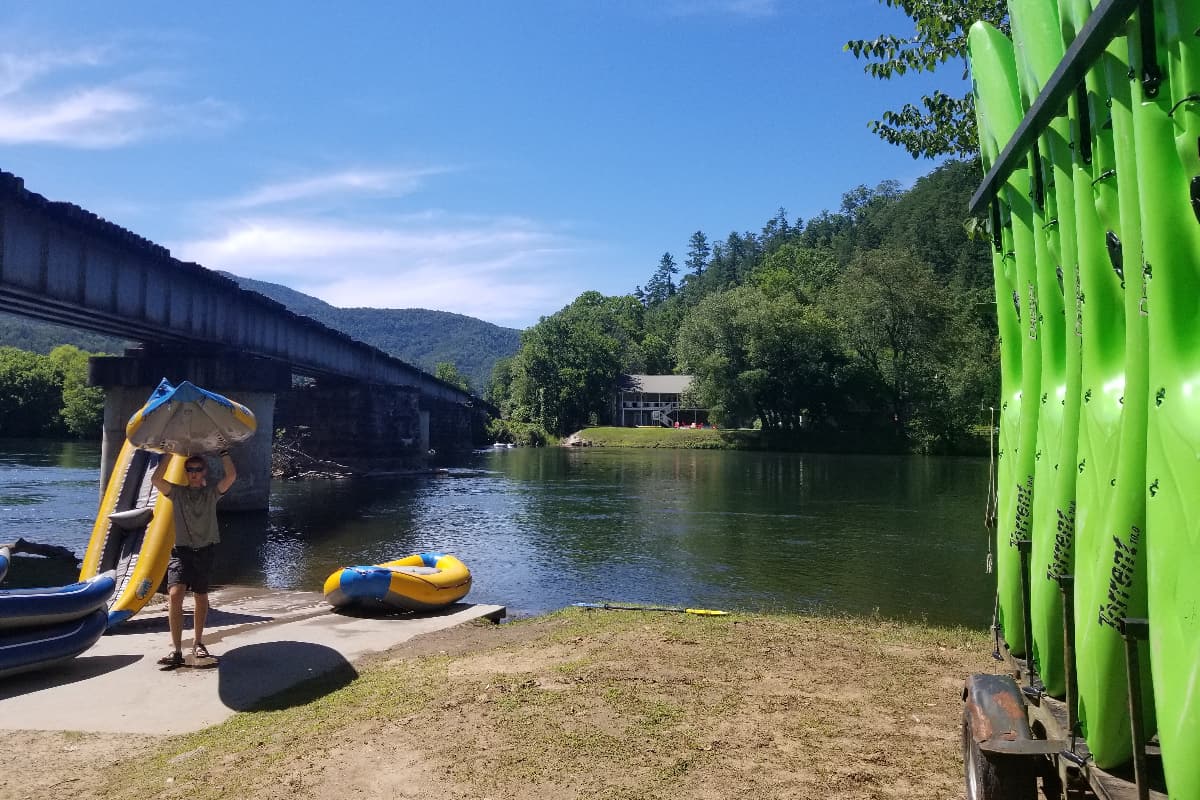
Photo courtesy of American Whitewater
Description
Take Out is the final rapid at the end of this river section, marking the conclusion of the run near Highway 62. While specific details are limited, paddlers should be prepared for potential hazards near the takeout point, including potential debris, current changes, and potential shore access challenges related to the nearby coal loading facility infrastructure.
Location
Other Rapids on This Run (1)
View Full Run
1. Coal loading facility at base of Ligias Ridge to Hwy 62
Emory
II-IV
14.7 mi
Current Conditions
5-Day Forecast
Whitewater data from
American Whitewater
American Whitewater