Gauge Conditions
Runnable: 2.5 – 10.0 FT
Help us out! Add a comment regarding best levels.
Data from American Whitewater & USGS
Photo
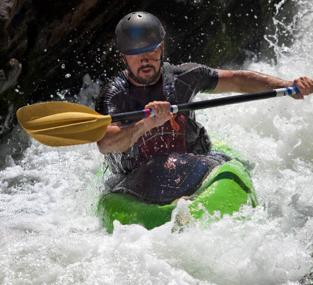
Photo courtesy of American Whitewater
Description
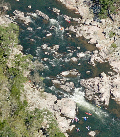
The Put In rapid marks the initial access point to the Upper Stouts Creek section, offering paddlers a straightforward entry with minimal technical challenges. While specific hazards are not well-documented for this location, boaters should anticipate potential shallow sections and potential boulder obstacles typical of small Ozark mountain streams.
Location
Other Rapids on This Run (1)
View Full Run
1. (Upper Stouts) Off of Highway M west of Ironton (0.6 mile)
Stouts Creek
III+
0.6 mi
Current Conditions
5-Day Forecast
Whitewater data from
American Whitewater
American Whitewater