Gauge Conditions
Runnable: ? – ? CFS
Approximate - nearest available gauge. Use as general reference only.
Data from American Whitewater & USGS
CDEC Flow Data California
Data from California Data Exchange Center (CDEC)
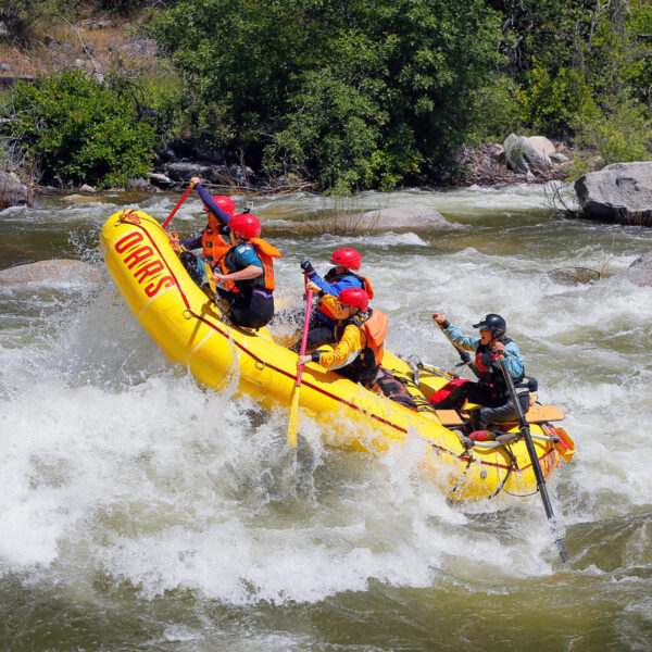
Photo

Photo courtesy of American Whitewater
Description
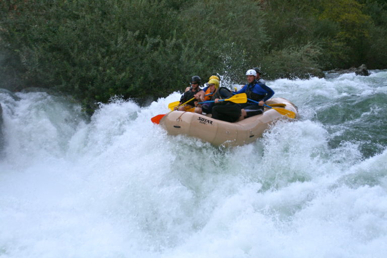
Put In is the initial access point for this section of the Stanislaus River, marking the start of the Clark's Fork to Donnells Lake run. Paddlers should carefully scout the entry point and assess water levels, as the rapid's characteristics can vary significantly depending on flow conditions. While specific details are limited, boaters should be prepared for potential obstacles and be aware of the surrounding terrain when launching.
Location
Other Rapids on This Run (2)
View Full Run
2. Clark's Fork bridge to Donnells Lake
Stanislaus, Middle Fork
IV-V
7.7 mi
Current Conditions
5-Day Forecast
Whitewater data from
American Whitewater
American Whitewater