Gauge Conditions
Runnable: ? – ? CFS
Approximate - nearest available gauge. Use as general reference only.
Data from American Whitewater & USGS
CDEC Flow Data California
Data from California Data Exchange Center (CDEC)
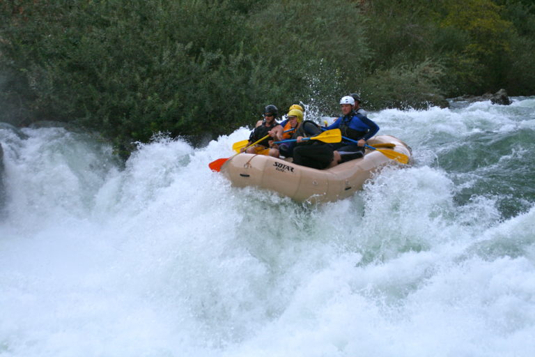
Photo
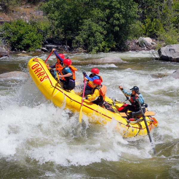
Photo courtesy of American Whitewater
Description
Take Out rapid marks the end of the Clark's Fork section, signaling the approach to Donnells Lake with a progressively wider river channel. Paddlers should be aware of potential debris and submerged rocks as the river slows and spreads out, requiring careful navigation to avoid getting hung up or pinned in the final stretches before the lake.
Location
Other Rapids on This Run (2)

View Full Run
2. Clark's Fork bridge to Donnells Lake
Stanislaus, Middle Fork
IV-V
7.7 mi
Current Conditions
5-Day Forecast
Whitewater data from
American Whitewater
American Whitewater