Gauge Conditions
Runnable: ? – ? CFS
Approximate - nearest available gauge. Use as general reference only.
Data from American Whitewater & USGS
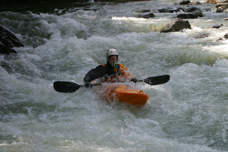
Photo

Photo courtesy of American Whitewater
Description
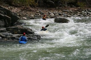
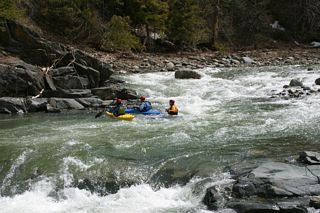
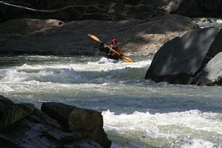
Put In is a marginal entry point on the Rock River's lower section, characterized by a tight, technical launch zone with potential for pinning hazards near the initial drop. Paddlers should carefully scout the immediate downstream conditions and be prepared for potential obstructions or uneven water flow when entering the river at this location.
Location
Other Rapids on This Run (11)
 Playspot
III+
Playspot
III+
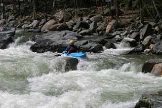
Rapid Above the The Dam in Williamsville
 Playspot
III+
Playspot
III+
View of Dam and the Rapid Above It
 Playspot
III+
Playspot
III+
Running the Dam
 Playspot
III+
Playspot
III+
Another View of Crossing the Dam
Rapid
IV
Double Drop
 Rapid
IV
Rapid
IV
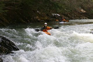
Triple Drop - Top
 Playspot
IV
Playspot
IV
Triple Drop - Sneak Route Left
 Rapid
III
Rapid
III
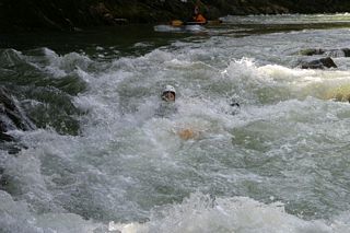
The Chute - Top
 Rapid
III
Rapid
III
The Chute
 Rapid
III
Rapid
III
The Chute - Bottom
 Rapid
N/A
Rapid
N/A
Take Out
View Full Run
2.) Lower
Rock
III-IV
4.5 mi
Current Conditions
5-Day Forecast
Whitewater data from
American Whitewater
American Whitewater