Gauge Conditions
Data from American Whitewater & USGS
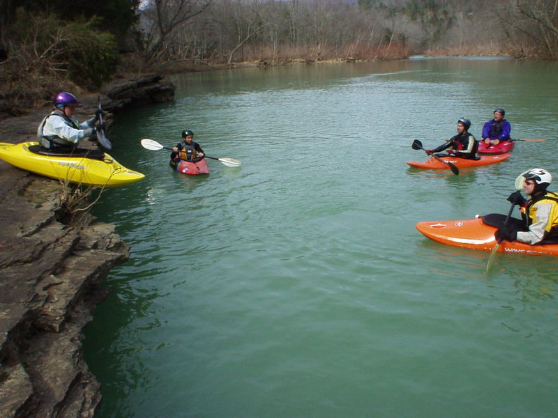
Photo
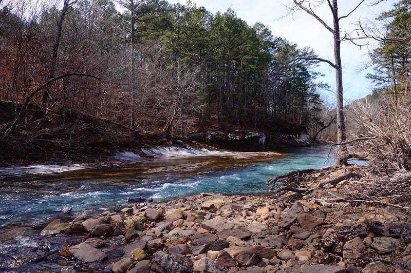
Photo courtesy of American Whitewater
Description
Put In is the starting point for this river section, featuring a relatively straightforward entry with minimal technical challenges. Paddlers should be aware of potential shallow areas and scattered rocks near the launch, which may require careful navigation depending on water levels.
Location
Other Rapids on This Run (2)
View Full Run
2) Redding Campground to HWY 23/Turner's Bend (3.6 miles)
Mulberry
I-III
3.6 mi
Current Conditions
5-Day Forecast
Whitewater data from
American Whitewater
American Whitewater