Gauge Conditions
Data from American Whitewater & USGS
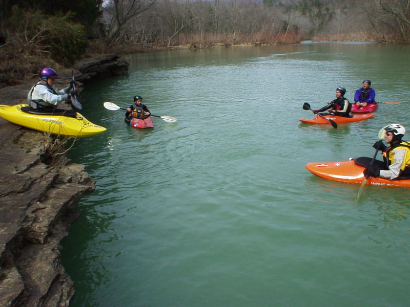
Photo
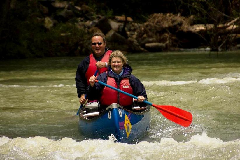
Photo courtesy of American Whitewater
Description
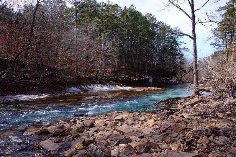
Take Out rapid marks the end of this river section, signaling paddlers to prepare for exit and takeout logistics. While not a technically challenging rapid, careful navigation is required to avoid potential obstacles and ensure a safe transition from water to shore at the designated takeout point.
Location
Other Rapids on This Run (2)
View Full Run
2) Redding Campground to HWY 23/Turner's Bend (3.6 miles)
Mulberry
I-III
3.6 mi
Current Conditions
5-Day Forecast
Whitewater data from
American Whitewater
American Whitewater