How's Your
River
×
Explore
Explore Map
Water Bodies
Gauges
Access Sites
Tidal Stations
Whitewater
Pricing
Login
Sign Up
Hazard Warning:
Hazard information may be user-submitted and unverified. Conditions change frequently. Always scout rapids and obstacles yourself.
Whitewater
West Virginia
Meadow (Gauley River trib.) - 3. Route 19 Bridge to confluence with the Gauley River
Put in
Put-in
WV
Class III+
Put in
Meadow (Gauley River trib.) - 3. Route 19 Bridge to confluence with the Gauley River (WV)
Monitor this Rapid
Water Body
This Run
Map
Other Rapids
Gauge
Weather
Directions
Gauge Conditions
Meadow River at Nallen, WV
Upstream
Primary
Runnable: 420.0 – 1,500.0 CFS
Data from
American Whitewater
&
USGS
Description
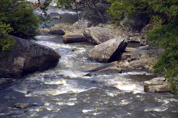
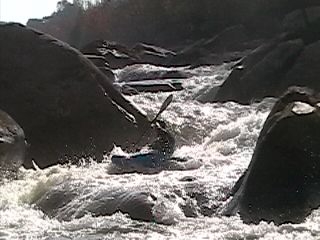
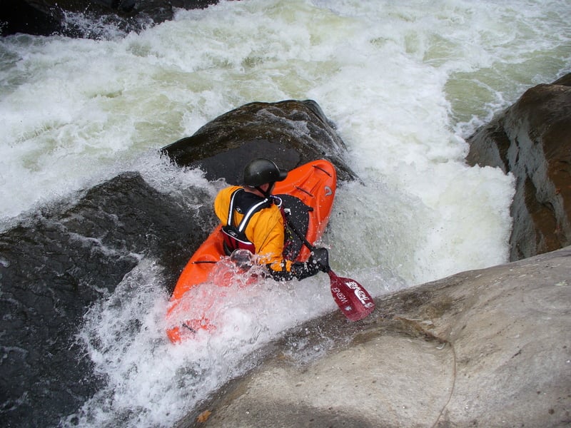
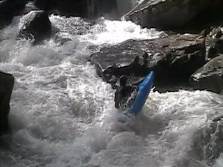
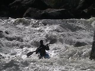
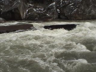
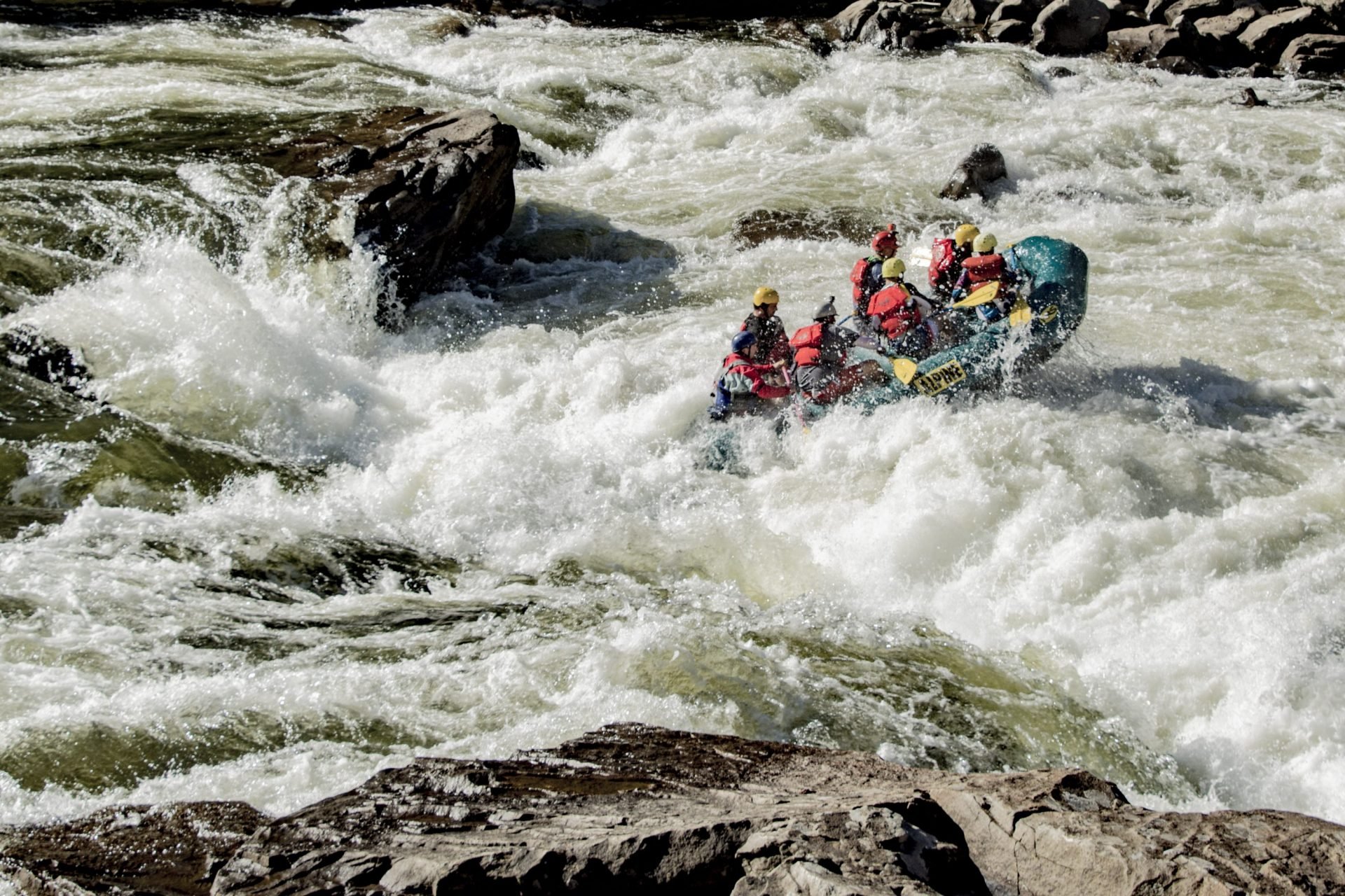
A walk down a steep old 4-WD trail. Rocks are slippery. Once at the bottom you must bush-whack to the river. Once to the river you will see a calm flowing stream, but do not let that fool you. Around the first bend is the first class IV+.
Location
Radar
Counties
Cell
Verizon
AT&T
T-Mobile
Dark
Satellite
Terrain
Other Rapids on This Run (11)
Hazard
IV+
Rites of Passage
0.2 mi
Hazard
V+
Hells Gates
0.5 mi
Hazard
V
Brink of Disaster
0.8 mi
Hazard
V+
Coming Home Sweet Jesus
0.9 mi
Hazard
V
Sieve City
1.2 mi
Hazard
IV
Heavy Water
1.7 mi
Hazard
IV+
Lets Make a Deal
2.2 mi
Hazard
V
First and Second Island
3.0 mi
Hazard
IV+
Sliding Board
3.8 mi
Hazard
V+
Double Undercut
4.2 mi
Rapid
N/A
Take Out
5.0 mi
Type
Put-in
Difficulty
Class III+
Mile Marker
0.0 mi
Directions
Navigate
View Full Run
3. Route 19 Bridge to confluence with the Gauley River
Meadow (Gauley River trib.)
V
4.6 mi
Current Conditions
5-Day Forecast
Whitewater data from
American Whitewater
Put in