Gauge Conditions
Runnable: ? – ? CFS
Approximate - nearest available gauge. Use as general reference only.
Data from American Whitewater & USGS
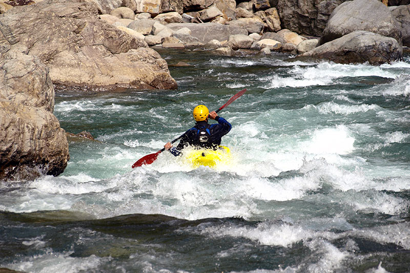
Photo

Photo courtesy of American Whitewater
Description
Put In is an unmarked entry point with potential hazards from submerged debris and variable flow conditions. Paddlers should scout carefully and be prepared for potential strainers or hidden obstacles near the river bank, especially during lower water levels. No specific technical challenges are documented, but standard whitewater caution and route selection are recommended.
Location

View Full Run
Bailey Road to Wabash River (3.6 miles)
Treaty Creek
I-II(III)
3.6 mi
Current Conditions
5-Day Forecast
Whitewater data from
American Whitewater
American Whitewater