Gauge Conditions
Runnable: ? – ? CFS
Approximate - nearest available gauge. Use as general reference only.
Data from American Whitewater & USGS
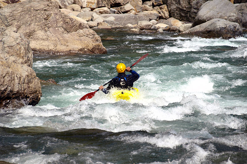
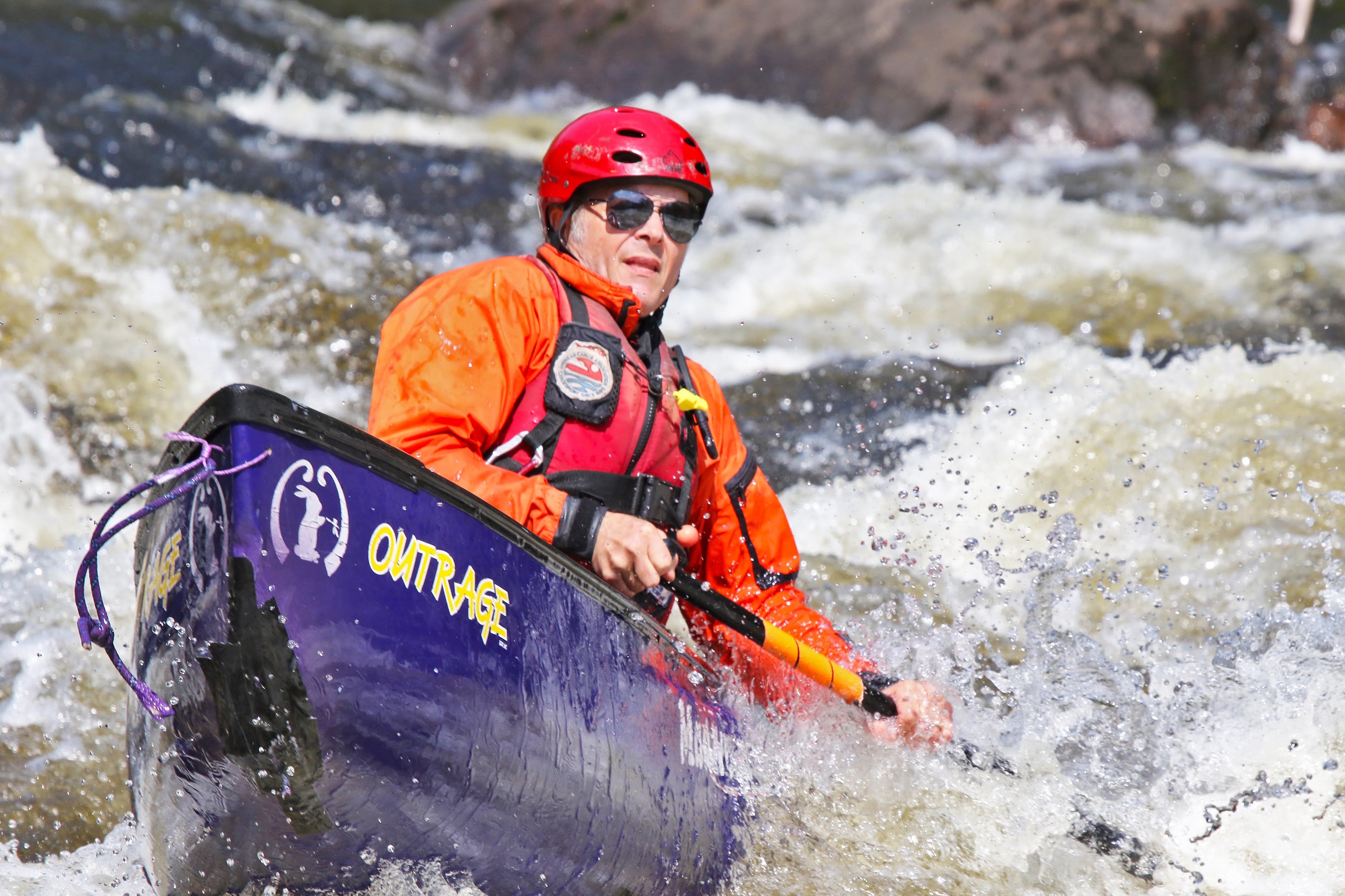
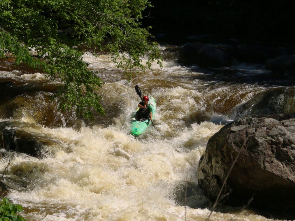
Photo
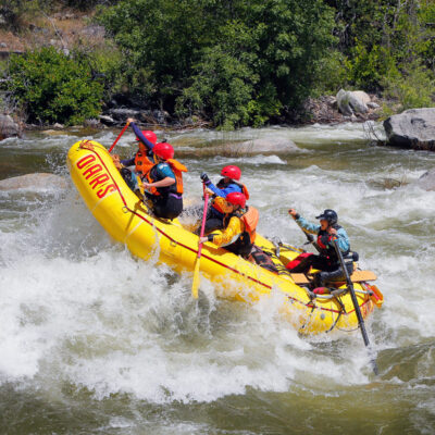
Photo courtesy of American Whitewater
Description
Take Out rapid presents minimal technical challenges, with a straightforward passage through a relatively calm section of Treaty Creek. While specific hazards are not well-documented, paddlers should maintain standard awareness of potential submerged obstacles and maintain a clean line through the rapid's center channel.
Location


View Full Run
Bailey Road to Wabash River (3.6 miles)
Treaty Creek
I-II(III)
3.6 mi
Current Conditions
5-Day Forecast
Whitewater data from
American Whitewater
American Whitewater