Gauge Conditions
Data from American Whitewater & USGS
Photo
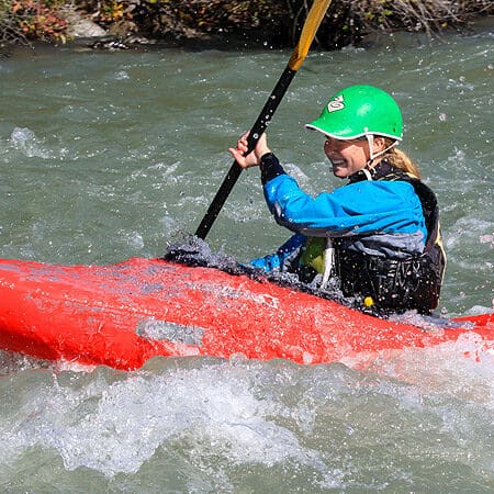
Photo courtesy of American Whitewater
Description
Put In is a basic entry point for the Salt River section, offering minimal technical challenges but serving as a critical launch zone for the downstream run. Paddlers should be aware of potential shallow areas and debris near the river banks, and carefully assess water levels and flow conditions before putting in at this location.
Location
Other Rapids on This Run (2)
View Full Run
Bridge at Stringer Lane river bottoms to Shepherdsville (11.5 miles)
Salt
I
10.3 mi
Current Conditions
5-Day Forecast
Whitewater data from
American Whitewater
American Whitewater