Take-out
KY
Take Out
Salt - Bridge at Stringer Lane river bottoms to Shepherdsville (11.5 miles) (KY)
Gauge Conditions
Data from American Whitewater & USGS
Photo
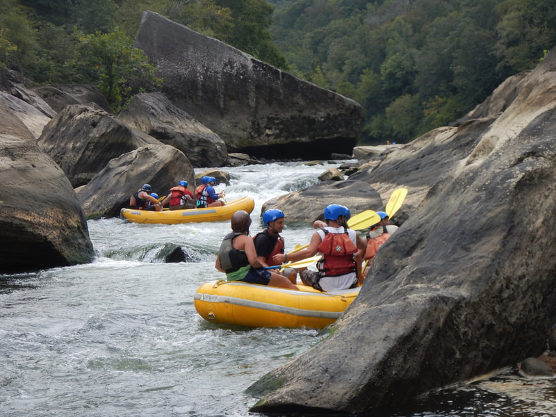
Photo courtesy of American Whitewater
Description
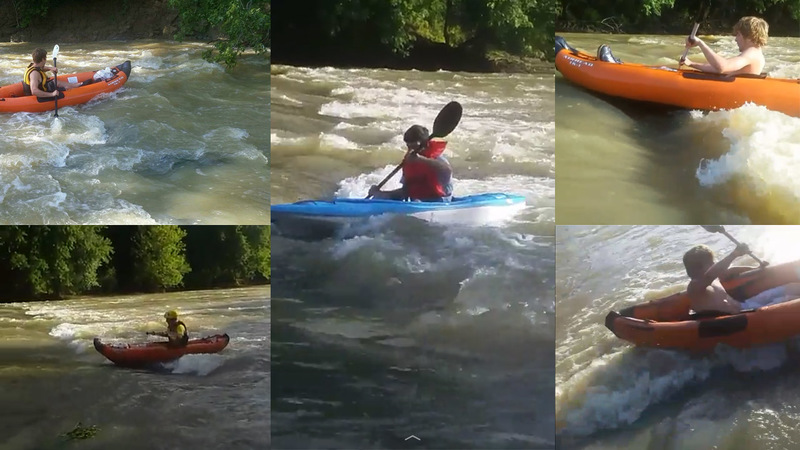
Take Out is a relatively straightforward section of the Salt River with minimal technical challenges. While specific rapids or notable features are not well-documented for this stretch, paddlers should be aware of potential river conditions and debris during different water levels. Standard river navigation skills and awareness of potential obstacles are recommended.
Location
Other Rapids on This Run (2)
View Full Run
Bridge at Stringer Lane river bottoms to Shepherdsville (11.5 miles)
Salt
I
10.3 mi
Current Conditions
5-Day Forecast
Whitewater data from
American Whitewater
American Whitewater