Gauge Conditions
Runnable: 250.0 – 600.0 CFS
Generally too low for decent whitewater run.
Data from American Whitewater & USGS
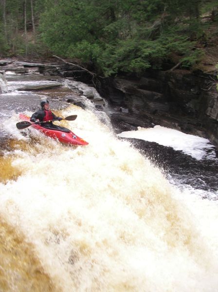
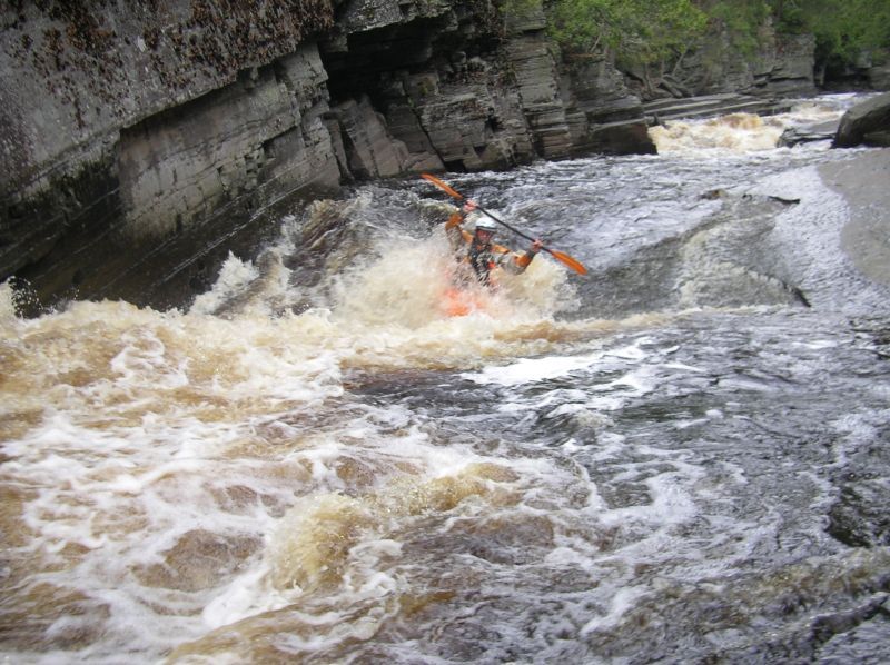
Photo
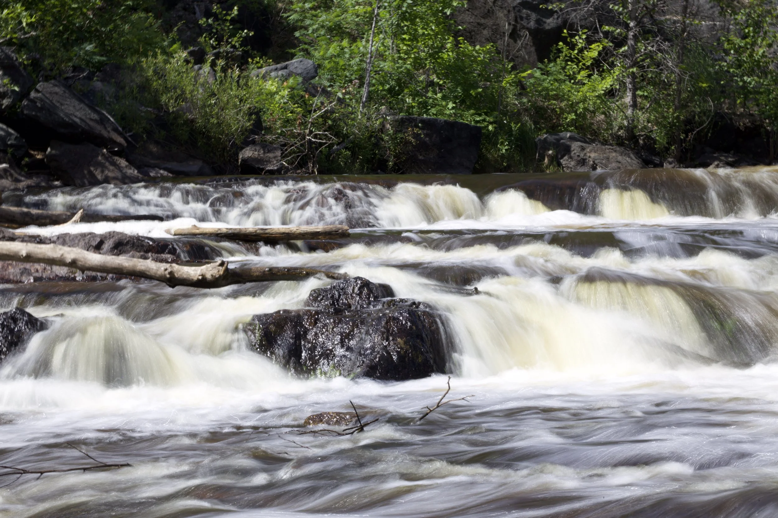
Photo courtesy of American Whitewater
Description
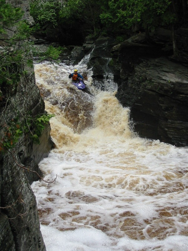
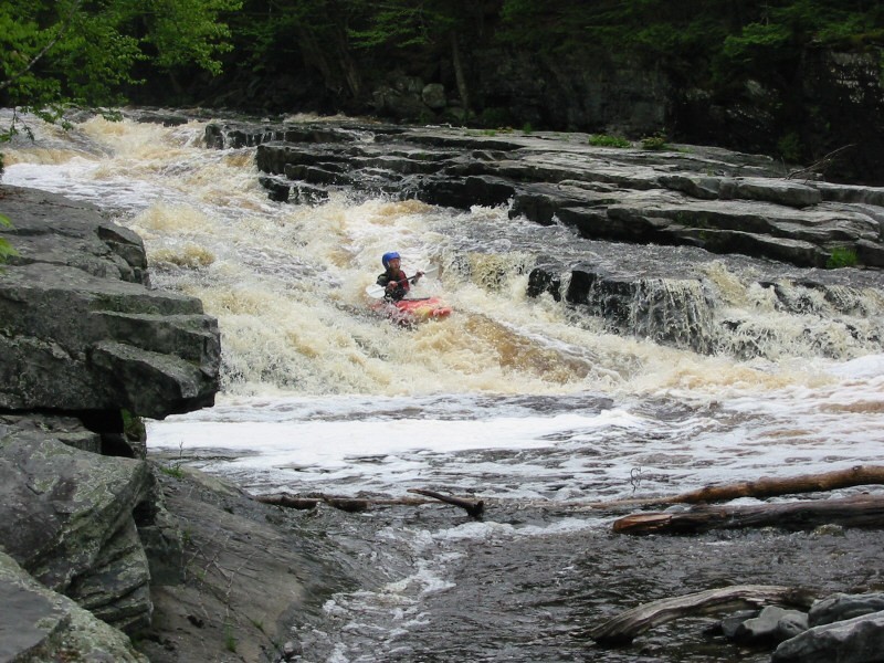
Put In rapid marks the entry point into Sturgeon Canyon, featuring a straightforward but technical start with scattered boulder gardens and potential shifting lines depending on water levels. Paddlers should carefully scout the entry for submerged rocks and choose their initial line carefully, as the rapid sets the tone for the more challenging downstream sections of this Upper Michigan whitewater run.
Location
View Full Run
C) Sturgeon Canyon: Hwy.41 to Upper Falls (0.75 miles)
Sturgeon (Baraga)
IV-V
0.7 mi
Current Conditions
5-Day Forecast
Whitewater data from
American Whitewater
American Whitewater