Gauge Conditions
Data from American Whitewater & USGS
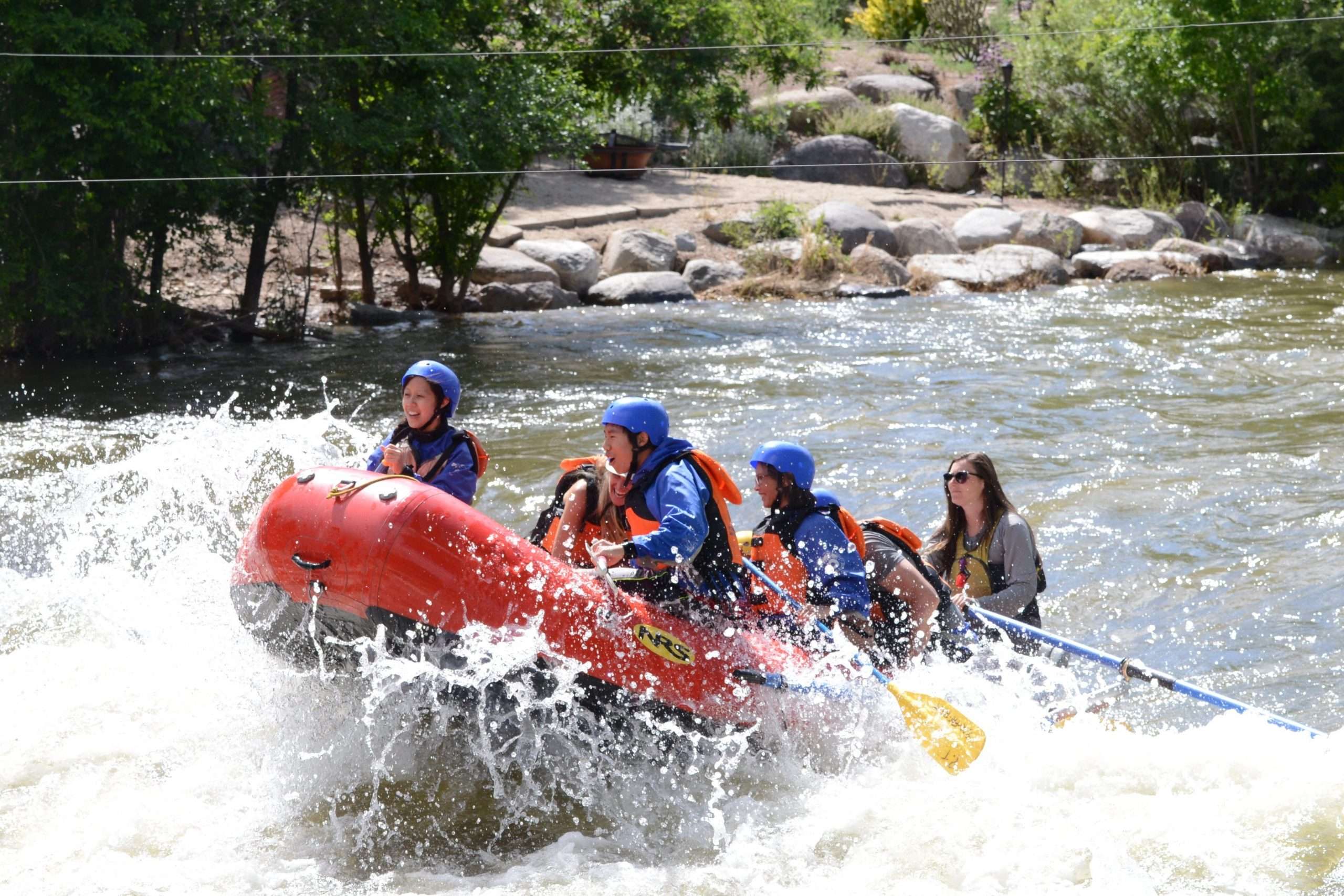
Photo
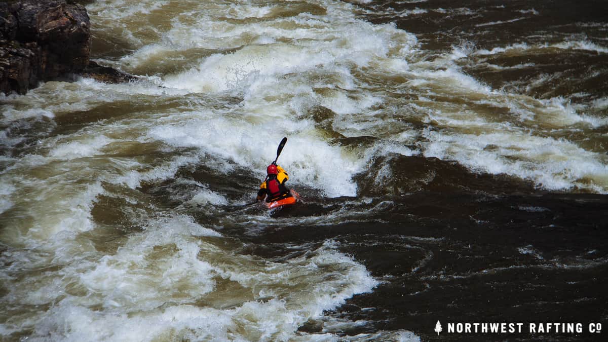
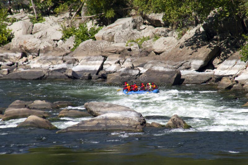
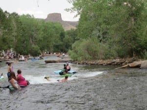
Photo courtesy of American Whitewater
Description
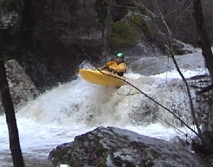
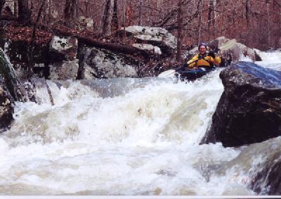
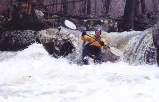
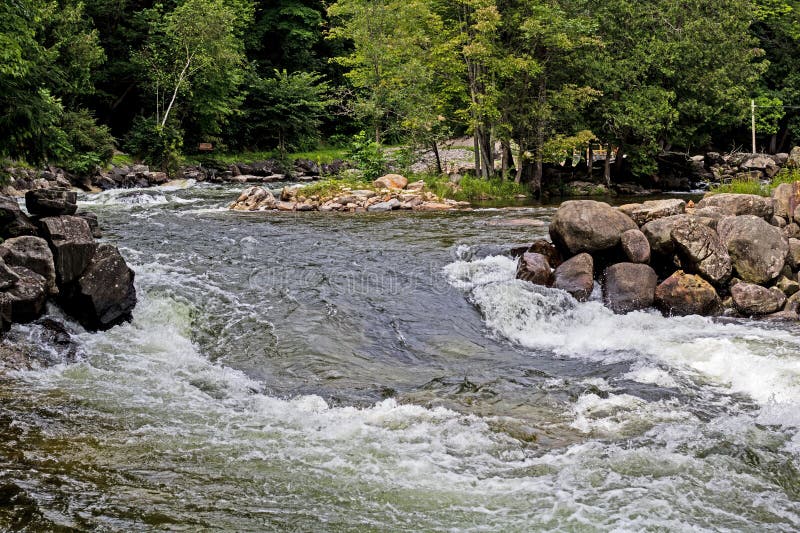
Put In rapid marks the starting point for this challenging hike-in section, requiring careful boat positioning and precise entry due to tight boulder-choked terrain. Paddlers should anticipate multiple blind turns and potential pin hazards in the initial stretch, with strategic route selection critical to navigating the narrow, technical entry into Bobtail Creek's upper watershed.
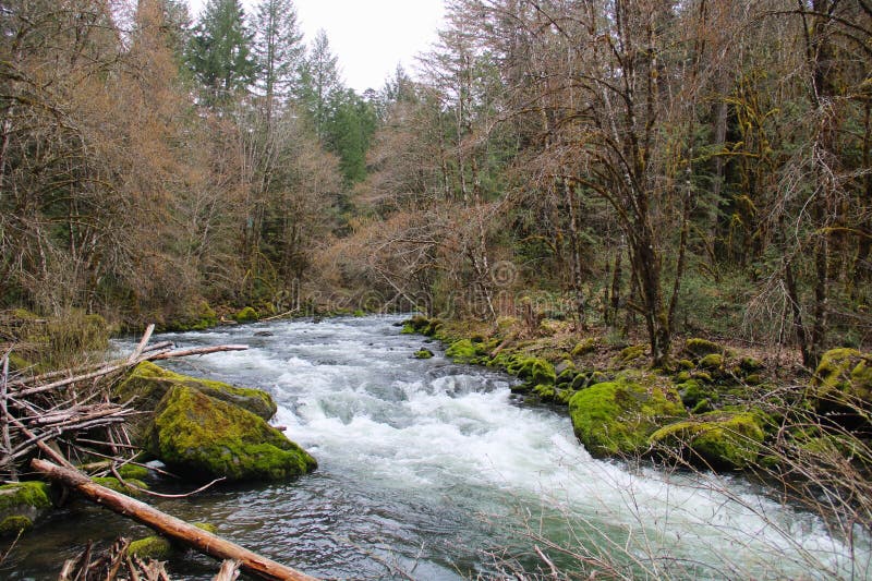
Location


View Full Run
(hike in) FS 1219A to Richland Creek (2.75 miles)
Bobtail Creek
III-IV+
2.8 mi
Current Conditions
5-Day Forecast
Whitewater data from
American Whitewater
American Whitewater