Take-out
AR
Richland Confluence
Bobtail Creek - (hike in) FS 1219A to Richland Creek (2.75 miles) (AR)
Gauge Conditions
Data from American Whitewater & USGS
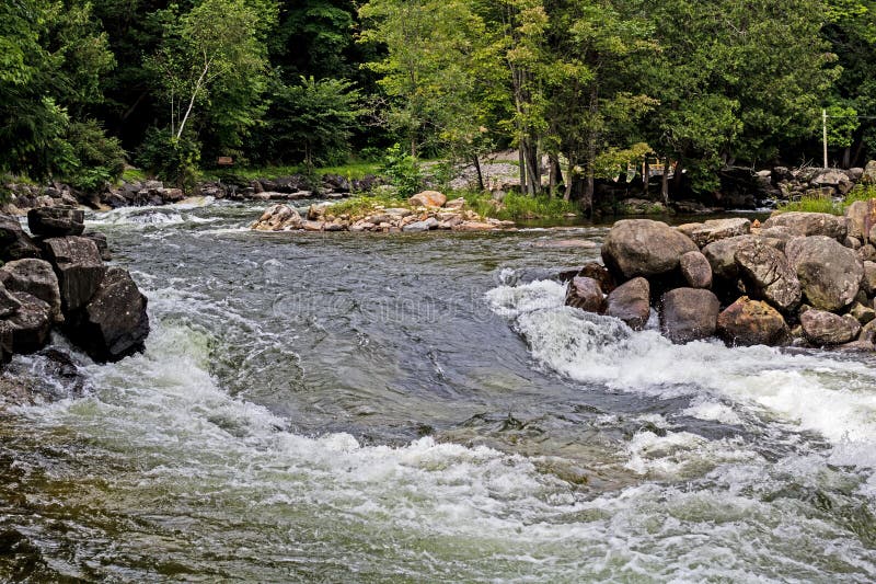
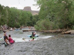
Photo

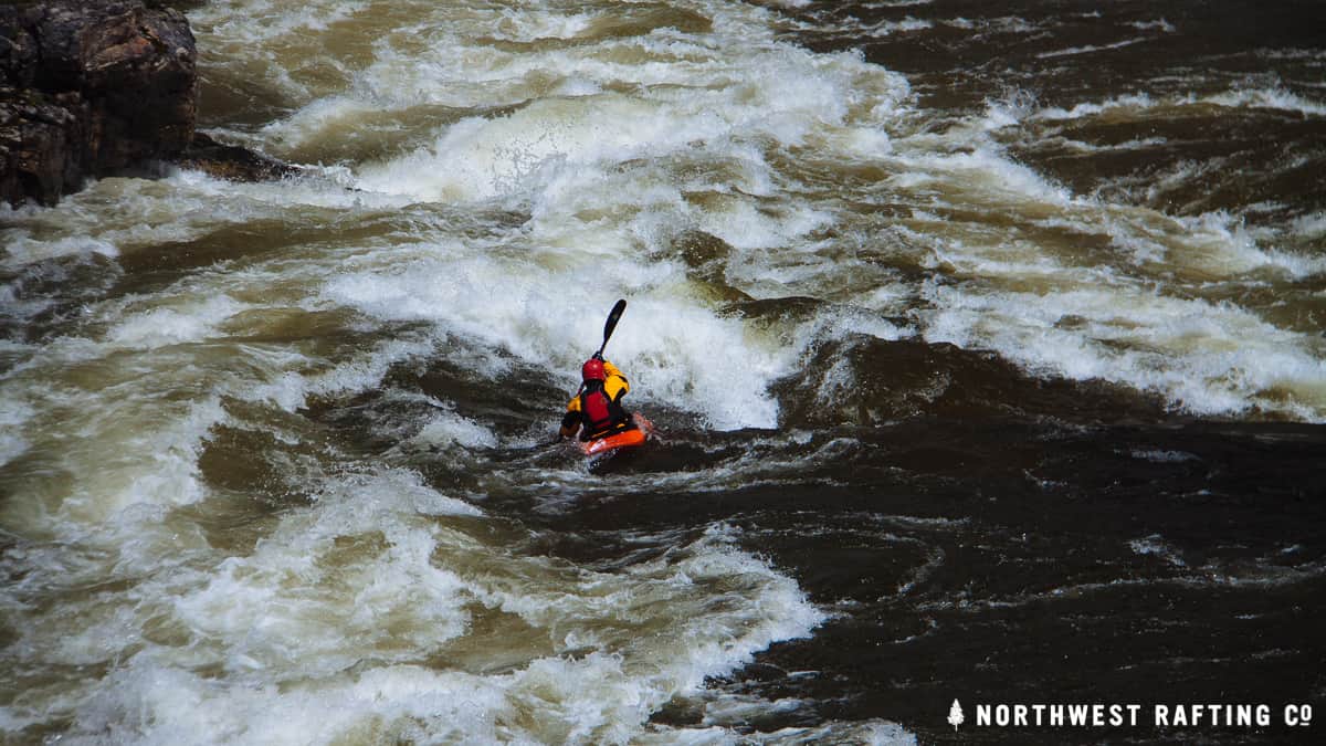
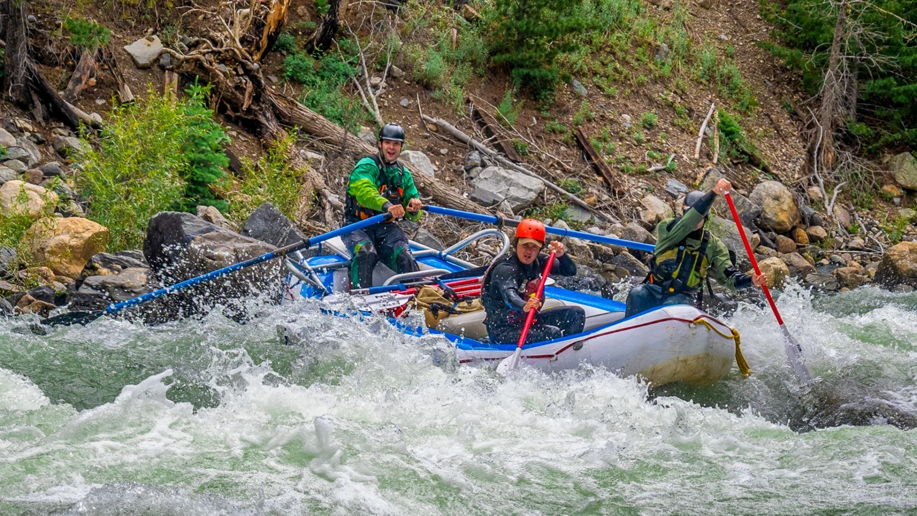
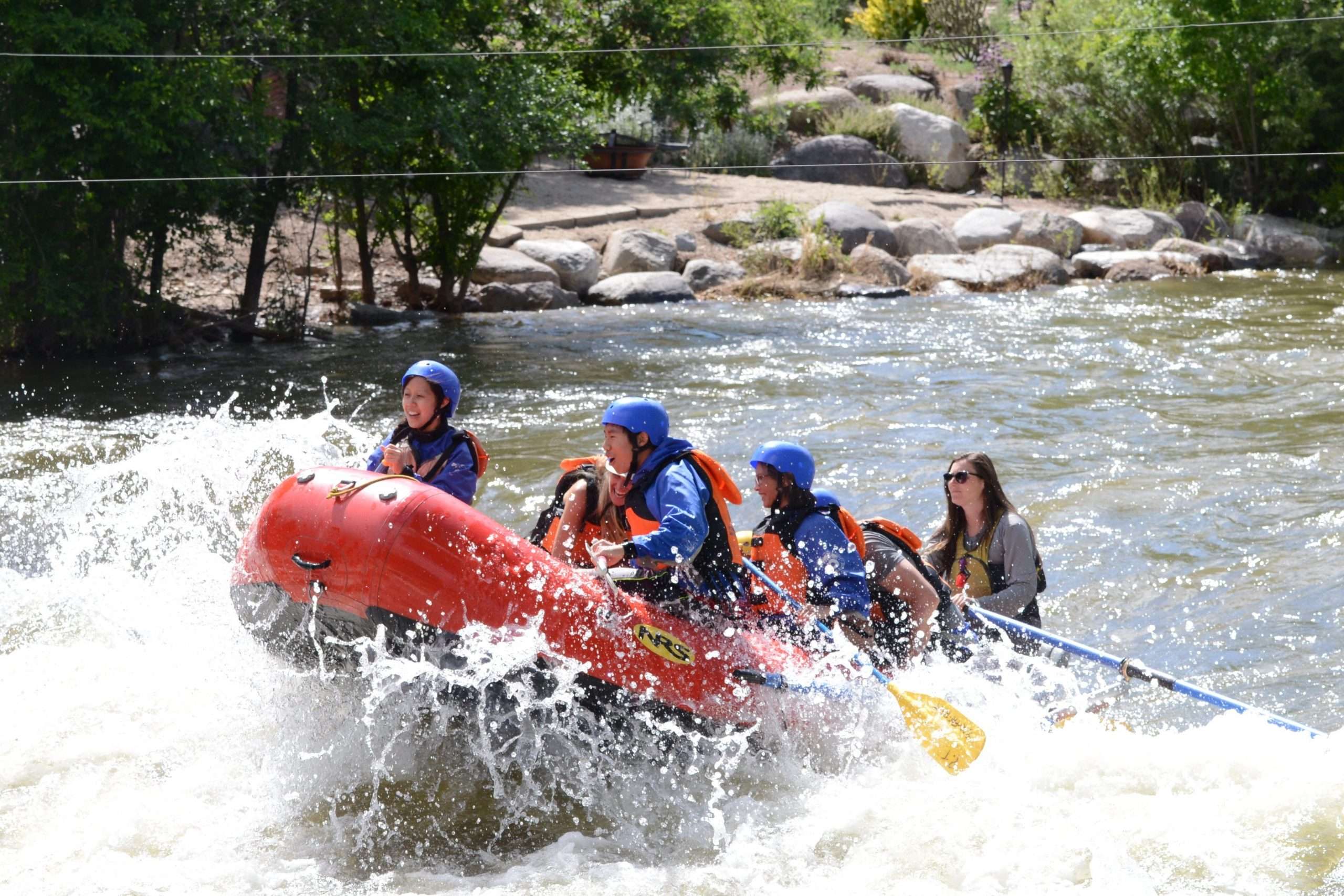
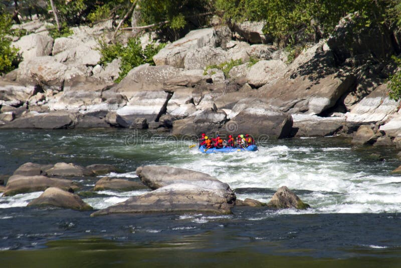
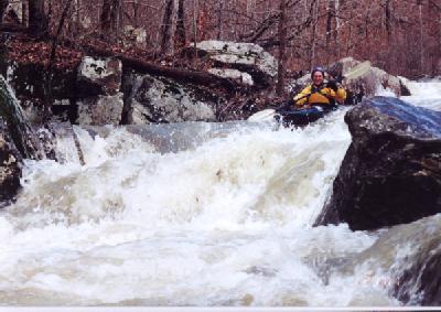
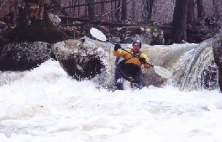
Photo courtesy of American Whitewater
Description
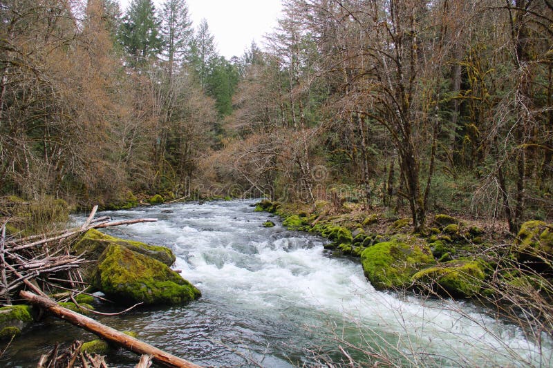
End of Bobtail. Carry 1 mile upstream along Richland via the trail to Richland Campground (take the right forks) or paddle 7.5 miles to the Lower Richland take-out.
Location

View Full Run
(hike in) FS 1219A to Richland Creek (2.75 miles)
Bobtail Creek
III-IV+
2.8 mi
Current Conditions
5-Day Forecast
Whitewater data from
American Whitewater
American Whitewater