Put-in
KY
Put In
Floyds Fork of the Salt River - Hwy.1526 to Hwy.61/Salt River (Shepherdsville) (9.6 miles) (KY)
Gauge Conditions
Runnable: 100.0 – 2,000.0 CFS
Very low; expect to scrape at any shoals and gradient. Not recommended.
Data from American Whitewater & USGS
Photo
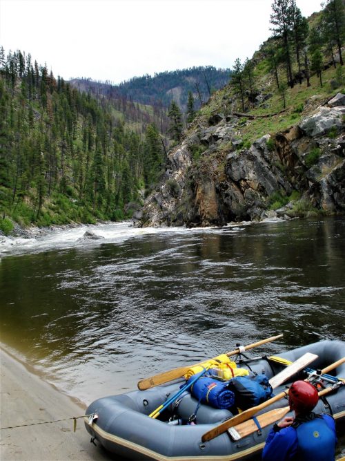
Photo courtesy of American Whitewater
Description
Put In serves as the initial entry point for the Floyds Fork section, offering paddlers a straightforward access with minimal technical challenges. The rapid appears to be a relatively calm stretch, likely providing a gentle introduction to the river's characteristics before more challenging sections downstream.
Location
Other Rapids on This Run (1)
View Full Run
Hwy.1526 to Hwy.61/Salt River (Shepherdsville) (9.6 miles)
Floyds Fork of the Salt River
I
10.1 mi
Current Conditions
5-Day Forecast
Whitewater data from
American Whitewater
American Whitewater