Take-out
KY
Take Out
Floyds Fork of the Salt River - Hwy.1526 to Hwy.61/Salt River (Shepherdsville) (9.6 miles) (KY)
Gauge Conditions
Runnable: 100.0 – 2,000.0 CFS
Very low; expect to scrape at any shoals and gradient. Not recommended.
Data from American Whitewater & USGS
Photo
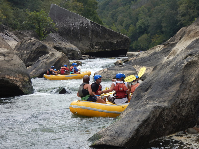
Photo courtesy of American Whitewater
Description
Take Out rapid marks the end of this section, serving as a transition point where paddlers prepare to exit the river near Highway 61. While specifics about the rapid's technical features are limited, careful navigation is required as this marks the conclusion of the 9.6-mile Floyds Fork run. Paddlers should be attentive to potential obstacles and river conditions when approaching the takeout point.
Location
Other Rapids on This Run (1)
View Full Run
Hwy.1526 to Hwy.61/Salt River (Shepherdsville) (9.6 miles)
Floyds Fork of the Salt River
I
10.1 mi
Current Conditions
5-Day Forecast
Whitewater data from
American Whitewater
American Whitewater