Gauge Conditions
Data from American Whitewater & USGS
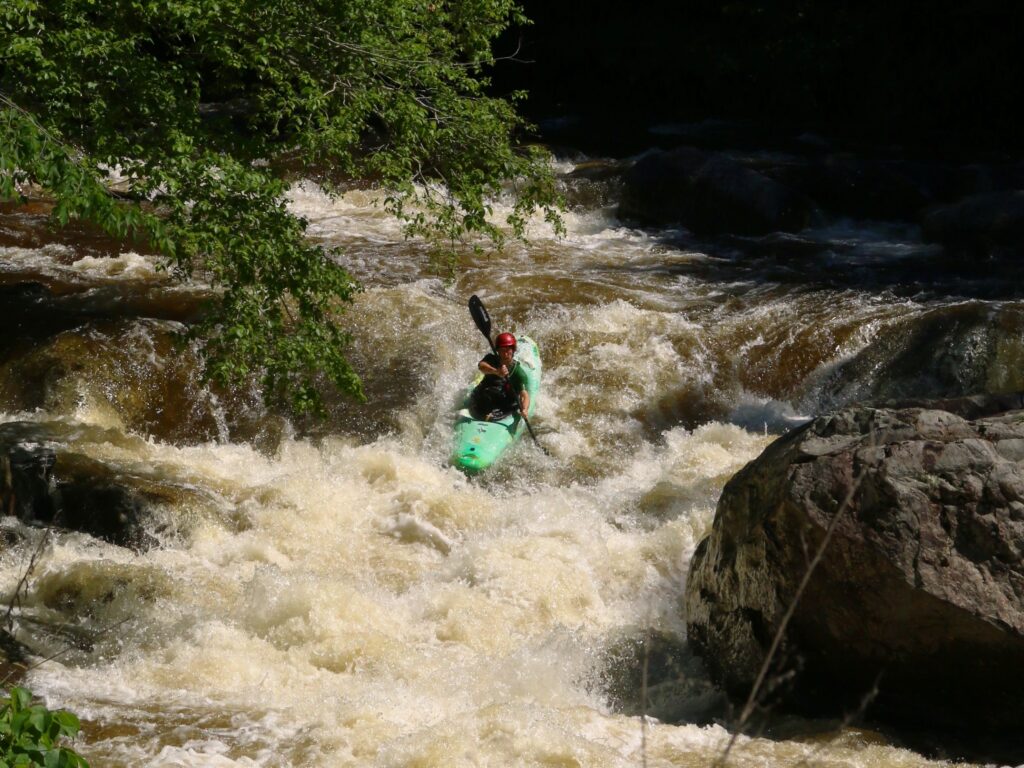
Photo

Photo courtesy of American Whitewater
Description
Put In marks the starting point for the Mountaintown Creek run, providing paddlers with their initial entry into the river's challenging descent. While specific details about the rapid are limited, this section likely requires careful navigation and an understanding of the surrounding terrain and water conditions. Paddlers should assess the current water level and potential hazards before launching.
Location
Other Rapids on This Run (2)
View Full Run
Hwy 52w to Hwy 282/76w
Mountaintown Creek
I-II
5.4 mi
Current Conditions
5-Day Forecast
Whitewater data from
American Whitewater
American Whitewater