Gauge Conditions
Runnable: ? – ? CFS
Approximate - nearest available gauge. Use as general reference only.
Data from American Whitewater & USGS
Photo

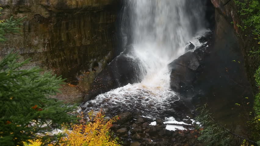
Photo courtesy of American Whitewater
Description
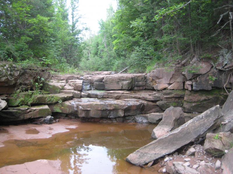
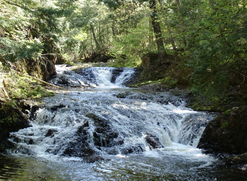
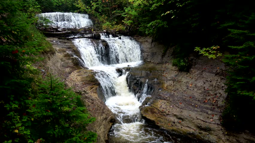
Put In is the entry point for the Copper Creek whitewater run, characterized by a straightforward but potentially rocky initial descent that requires careful navigation through a scattered boulder field. Paddlers should be prepared for potential submerged obstacles and maintain a precise line to avoid potential pin hazards, with the best route typically following the main current channel.
Location


View Full Run
logging road to Presque Isle (2.6 + 4.75 miles)
Copper Creek
II-IV
7.6 mi
Current Conditions
5-Day Forecast
Whitewater data from
American Whitewater
American Whitewater