Gauge Conditions
Runnable: ? – ? CFS
Approximate - nearest available gauge. Use as general reference only.
Data from American Whitewater & USGS
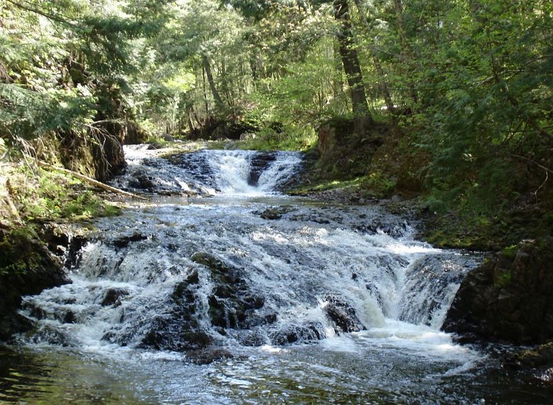
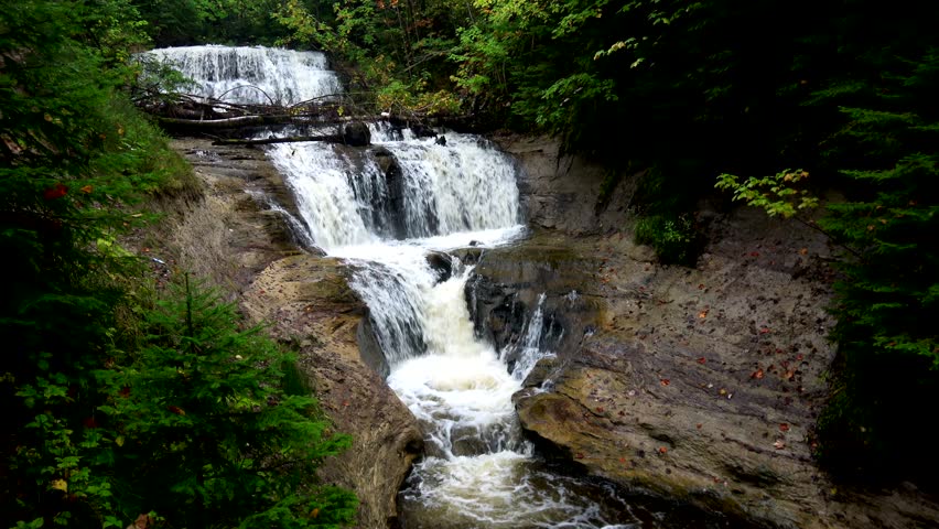
Photo
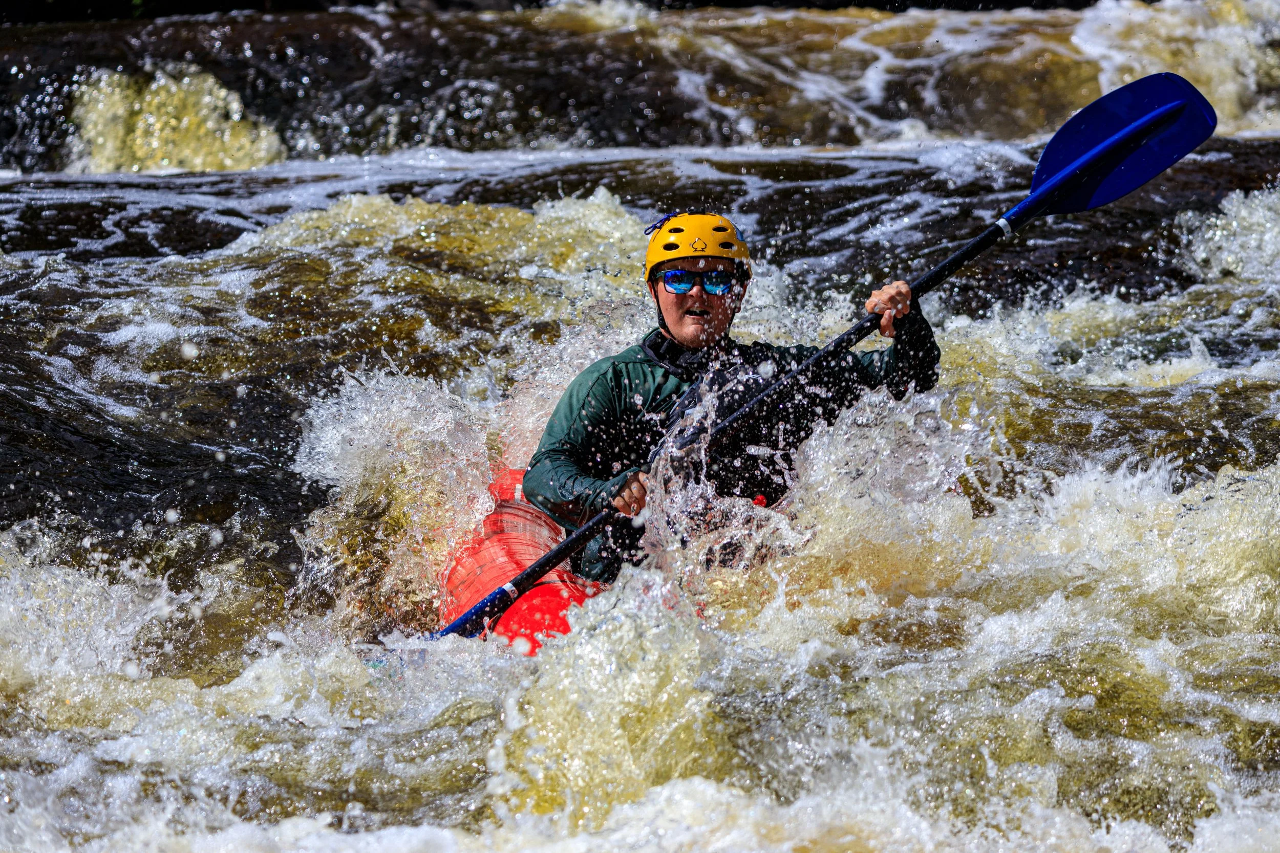
Photo courtesy of American Whitewater
Description
Take Out rapid on Copper Creek presents a challenging exit point with potential boulder obstacles and tight maneuvering required near the logging road and Presque Isle confluence. Paddlers should carefully scout the rapid's line and be prepared for potential strainers or debris, particularly during lower water conditions that may expose more rocky terrain.
Location
View Full Run
logging road to Presque Isle (2.6 + 4.75 miles)
Copper Creek
II-IV
7.6 mi
Current Conditions
5-Day Forecast
Whitewater data from
American Whitewater
American Whitewater