Gauge Conditions
Runnable: ? – ? CFS
Approximate - gauge is 8.7 miles away on Smith River (downstream confluence)
Data from American Whitewater & USGS
Photo
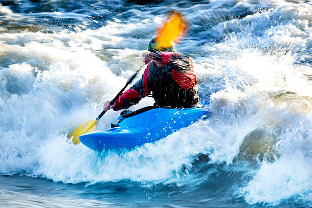
Photo courtesy of American Whitewater
Description
Put In rapid marks the starting point for this river run, featuring an initial tight entry between boulder-choked banks that requires precise boat positioning. Paddlers should be prepared for potential shallow water and submerged rocks during low flow periods, with the primary line running center-left to avoid potential pin hazards near the right bank.
Location
Other Rapids on This Run (1)
View Full Run
S. Fork Tenderfoot to Smith R.
Tenderfoot Creek
II-III+(IV)
9.2 mi
Current Conditions
5-Day Forecast
Whitewater data from
American Whitewater
American Whitewater