Gauge Conditions
Runnable: ? – ? CFS
Approximate - gauge is 8.7 miles away on Smith River (downstream confluence)
Data from American Whitewater & USGS
Photo

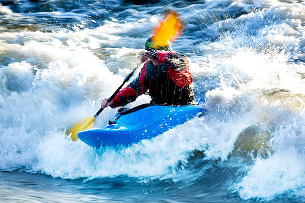
Photo courtesy of American Whitewater
Description
Take Out rapid marks the conclusion of the Tenderfoot Creek run, characterized by a straightforward but potentially shallow approach requiring careful boat positioning to avoid rock gardens near the exit. Paddlers should anticipate potential scraping and be prepared to read the water carefully, especially during low water conditions when submerged obstacles become more prominent.
Location
Other Rapids on This Run (1)
View Full Run
S. Fork Tenderfoot to Smith R.
Tenderfoot Creek
II-III+(IV)
9.2 mi
Current Conditions
5-Day Forecast
Whitewater data from
American Whitewater
American Whitewater