Gauge Conditions
Data from American Whitewater & USGS
Photo
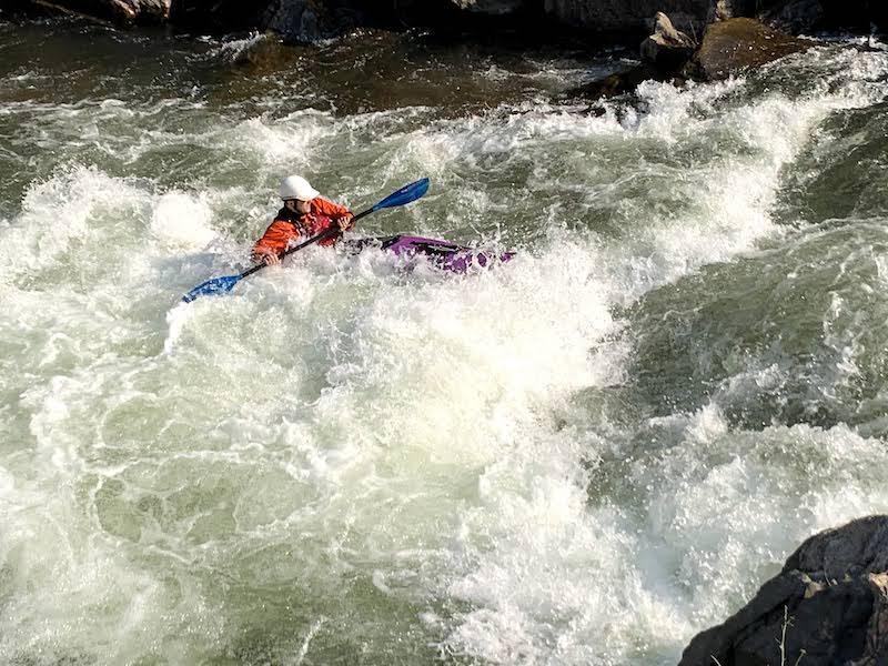
Photo courtesy of American Whitewater
Description
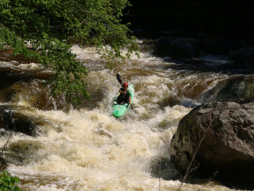
The Put-in rapid on Vermont's La Platte River marks the entry point for the upper section, offering paddlers an initial navigation challenge through a narrow, boulder-strewn entry with limited maneuvering room. While specifics about water features are limited, paddlers should anticipate potential tight channel constraints and be prepared for potential submerged obstacles that could impact boat control.
Location
Other Rapids on This Run (1)
View Full Run
Upper La Platte River Natural Area to Route 7
La Platte River
II-III+
3.0 mi
Current Conditions
5-Day Forecast
Whitewater data from
American Whitewater
American Whitewater