Gauge Conditions
Data from American Whitewater & USGS
Photo
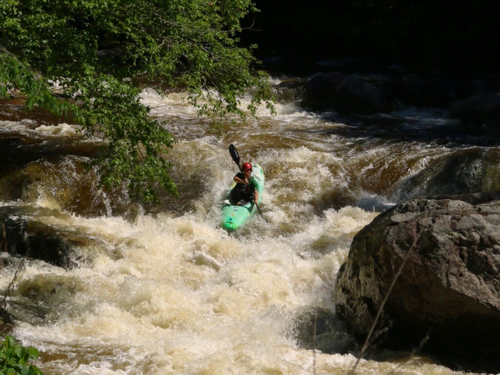
Photo courtesy of American Whitewater
Description
Take-Out is the terminal rapid at the end of this river section, characterized by a tight constriction that funnels flow between boulder-strewn banks. Paddlers should be prepared for potential pinning hazards and a technical exit that requires precise maneuvering, especially at lower water levels. The rapid serves as a critical transition point where boaters must carefully navigate the final descent before reaching the takeout point.
Location
Other Rapids on This Run (1)
View Full Run
Upper La Platte River Natural Area to Route 7
La Platte River
II-III+
3.0 mi
Current Conditions
5-Day Forecast
Whitewater data from
American Whitewater
American Whitewater