Gauge Conditions
Runnable: ? – ? CFS
Approximate - nearest available gauge. Use as general reference only.
Data from American Whitewater & USGS
Photo
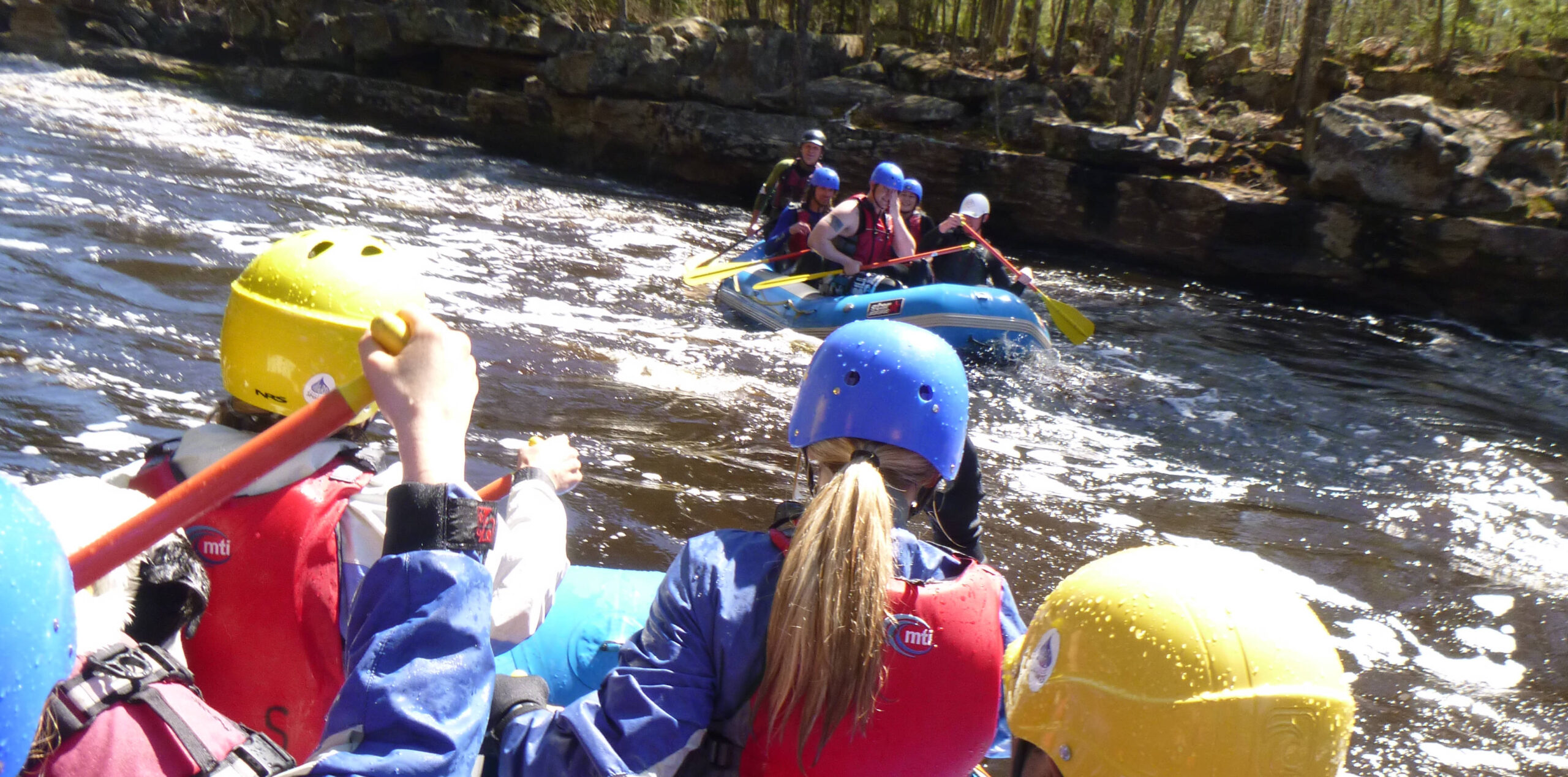
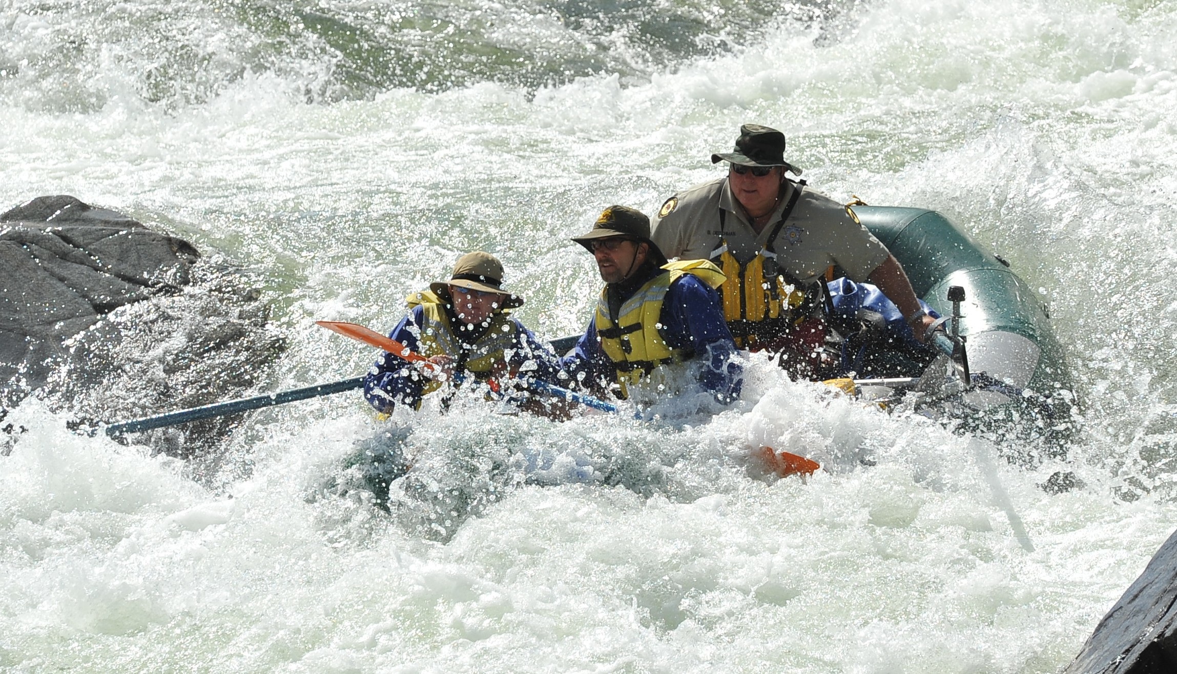
Photo courtesy of American Whitewater
Description
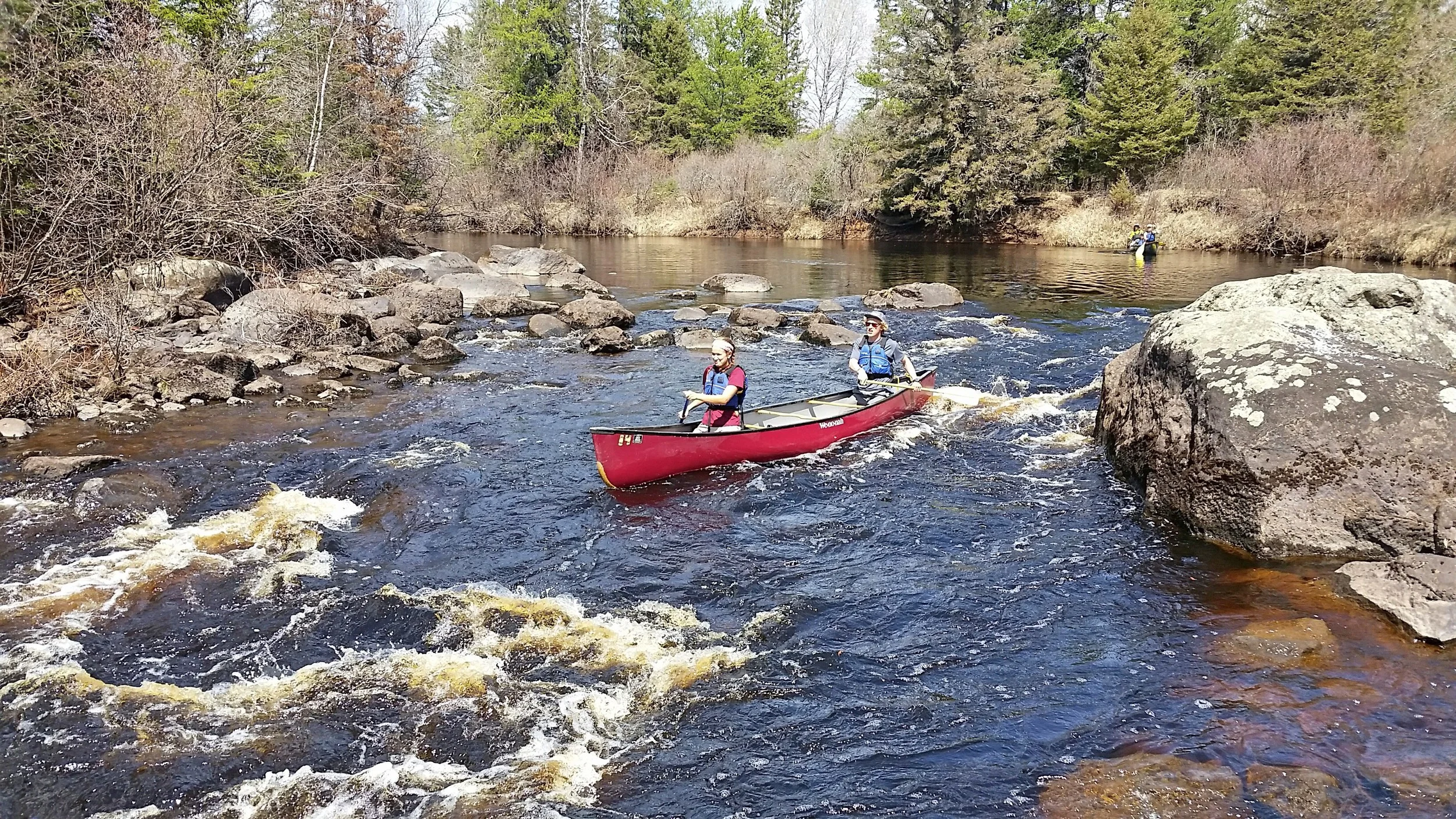
Put In rapid marks the starting point for this section of the Cloquet River, offering paddlers an immediate entry into the river's flow. While specific technical details are limited, the rapid serves as a transition from the put-in location near US Route 53, likely presenting initial navigational challenges typical of river entries. Paddlers should assess local water levels and potential hazards during their launch.
Location
Other Rapids on This Run (2)
View Full Run
US Route 53 to US Route 2 (11 miles)
Cloquet
II+
10.7 mi
Current Conditions
5-Day Forecast
Whitewater data from
American Whitewater
American Whitewater