Gauge Conditions
Runnable: ? – ? CFS
Approximate - nearest available gauge. Use as general reference only.
Data from American Whitewater & USGS
Photo
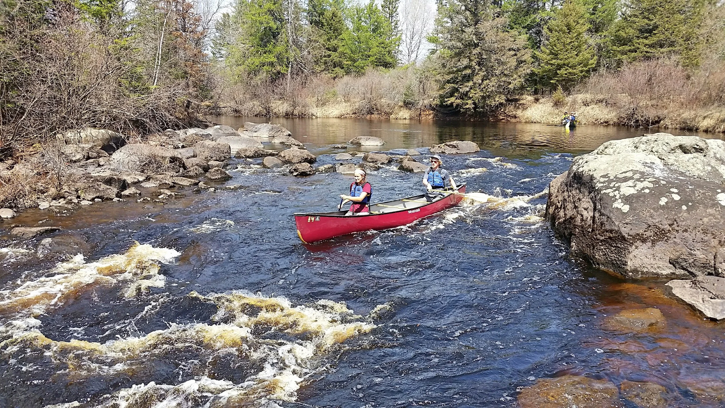
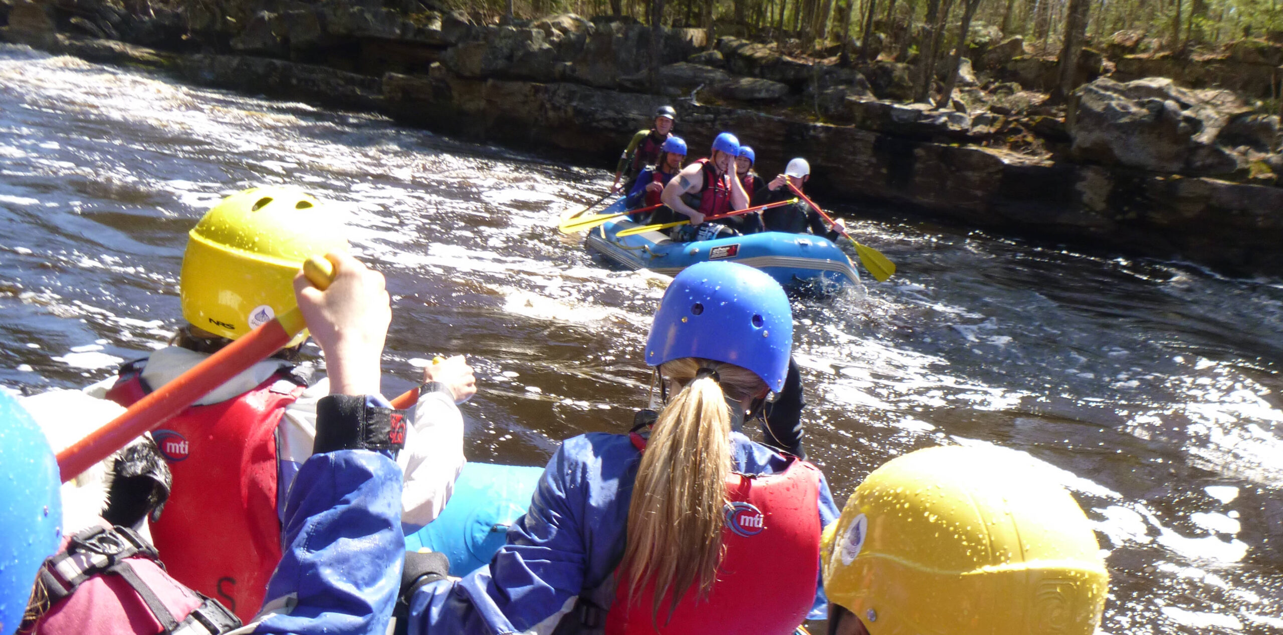
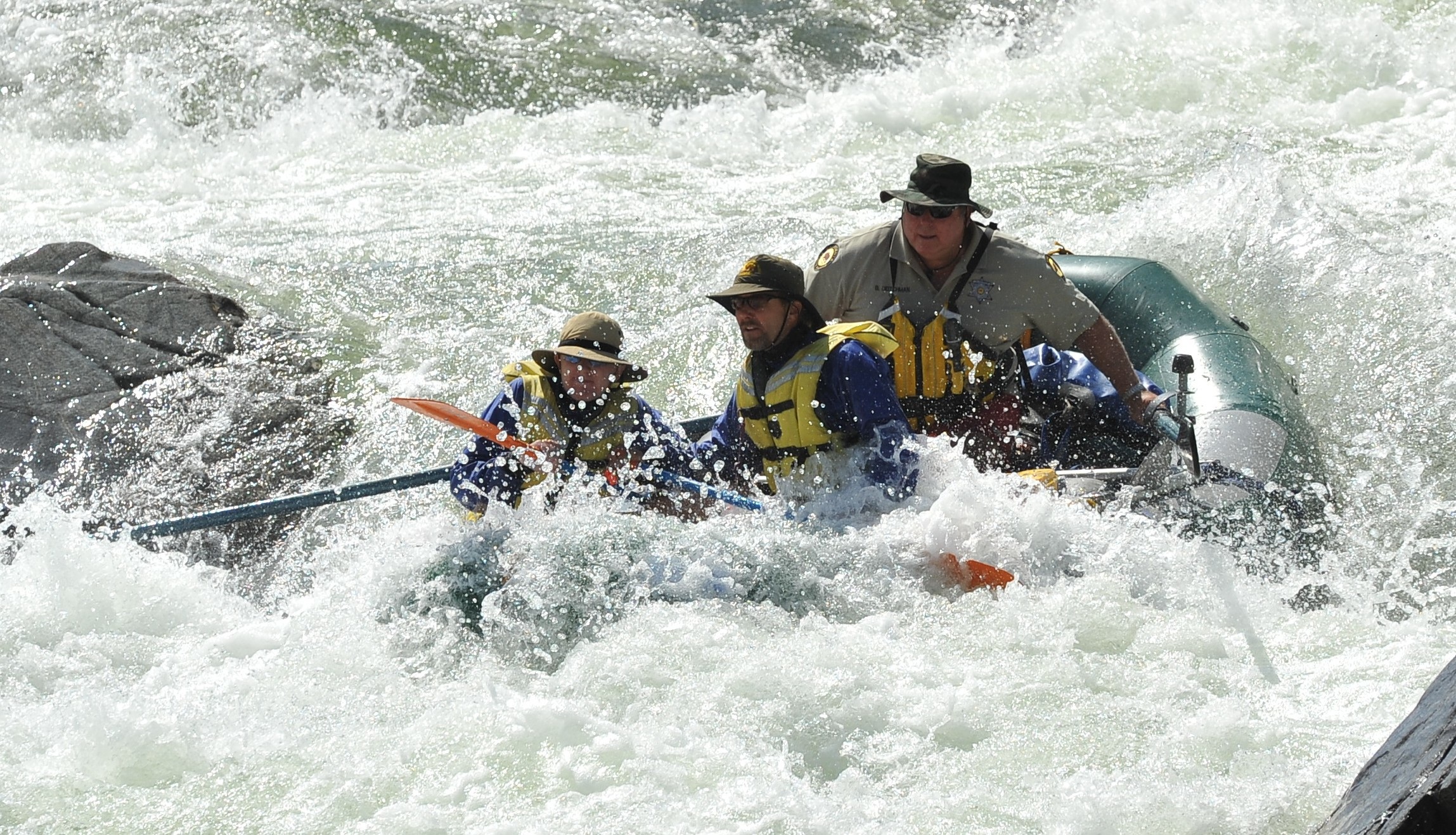
Photo courtesy of American Whitewater
Description
Take Out is a transition point marking the end of this Cloquet River run, characterized by potential debris and variability in water levels that can alter navigability. Paddlers should be prepared for potential log jams or strainers near the river exit and maintain situational awareness during approach, especially during spring runoff or after significant rainfall.
Location
Other Rapids on This Run (2)
View Full Run
US Route 53 to US Route 2 (11 miles)
Cloquet
II+
10.7 mi
Current Conditions
5-Day Forecast
Whitewater data from
American Whitewater
American Whitewater