RECOMMENDED PUT-IN
Sauk Creek - * UPDATE 2025.09.05 Sketchy wood, but doable * Conservancy to S.Wisconsin St. (1.18 mile or 0.3 mile PnH) (WI)
Gauge Conditions
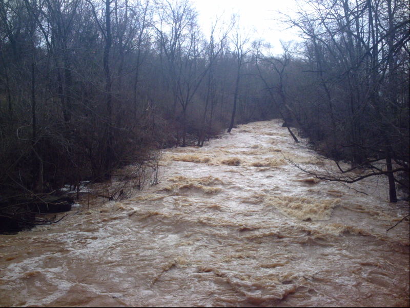
Almost certainly too low (but you could check its stick-gauge for possible low-water minimums). (Stick-gauge under 13.9' is a total scrape.)
Description
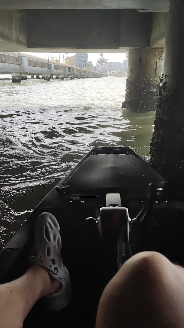
Park roadside at the conservancy property (on CTH.KK/N.Moore Road). Carry down the path, across the footbridge, and upstream (left). At the first split in the path, stay left. You will cross a very brief bridge/boarwalk (over a swampy spot) to reach the top of Krueger Falls. If the creek is at runnable levels, you will have to wade through shallow water to scout the falls (visualize your 'markers' for your approach when in your boat).
After scouting the falls, decide upon your put-in. Reasonable options are:
- Timid boaters may opt to skip Krueger Falls (and the upper part of the run), and just put in at the bridge. Steel-grate steps (downstream, river-left at the footbridge) facilitate access to the lower (class II+) part of the run, and allow others (putting in upstream) the option to exit to carry up for repeat runs on Krueger Falls. Otherwise ...
-
The shortest carry is to put in immediately downstream or just upstream of the "Three Bar Bridge". Look for the first location where there is not too much underbrush, mount up, rip-snort'n peel-out, and the action is on! - Or carry 90-100 yards to put-in at the 'Warm Up Waves'.
- Or carry about 200 yards from the falls until you can see the railroad crossing on Moore Road (across the creek and up the west bank). This gives you slightly more warm-up, coming into 'Warm Up Waves' from upstream.
- Or carry about 285 yards from the falls (to just before a split in the trail) to the now "Recommended put-in".
- Or ... staying on the well-trodden path (keeping left at any 'forks' in the path to stay close to the creek), you'll come to a place where the main path turns sharply to the right (eastward), and you will see pine trees ahead of you. Turn toward the creek to find an easy put-in from low shore. HOWEVER ... this is above a major snag (as of 2024) which would mandate a portage.
North from this point (amid the pine trees), while there is still a very prominent path, YOU WILL BE ON PRIVATE LAND! YOU ARE TRESPASSING OUT OF THE CONSERVANCY! Everything upstream from here (to CTH.LL/Seven Hills Road, to I43, to Mink Ranch Road, and beyond) is lower gradient, and virtually guaranteed to have plenty of snag-filled areas with mandatory portages.
Location
Other Rapids on This Run (18)
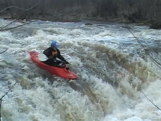 Waterfall
III
Waterfall
III
 Playspot
III
Playspot
III
 Playspot
II+
Playspot
II+
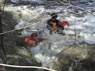
 Hazard
N/A
Hazard
N/A
 Hazard
N/A
Hazard
N/A
 Hazard
N/A
Hazard
N/A
Current Conditions
5-Day Forecast
American Whitewater