How's Your
River
×
Explore
Explore Map
Water Bodies
Gauges
Access Sites
Tidal Stations
Whitewater
Pricing
Login
Sign Up
Hazard Warning:
Hazard information may be user-submitted and unverified. Conditions change frequently. Always scout rapids and obstacles yourself.
Whitewater
South Carolina
Eastatoe Creek -2, Lower Gorge - Mill Creek to Dug Mountain Access
slide
Rapid
SC
Class III
slide
Eastatoe Creek -2, Lower Gorge - Mill Creek to Dug Mountain Access (SC)
Monitor this Rapid
Water Body
This Run
Map
Other Rapids
Gauge
Weather
Directions
Gauge Conditions
Primary
Runnable: 75.0 – 10,000.0 CFS
Data from
American Whitewater
&
USGS
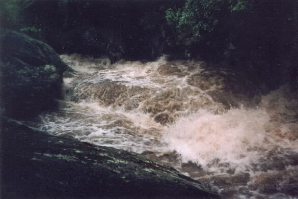
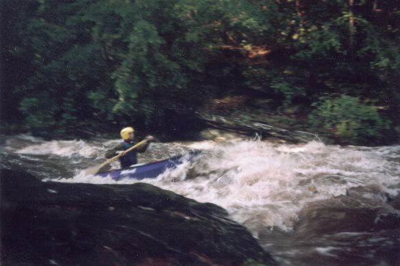
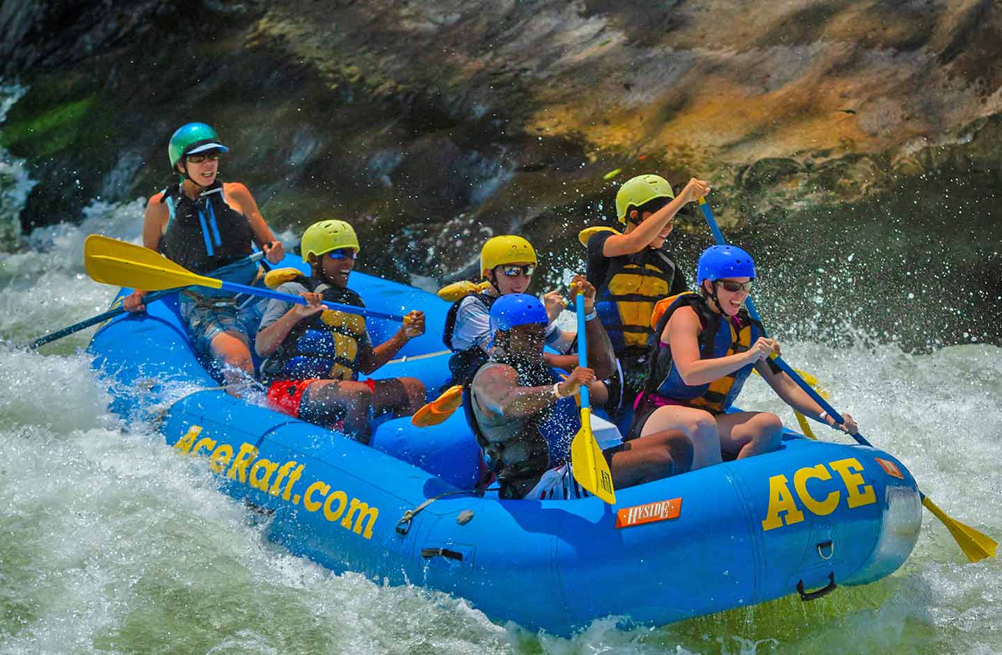
Photo
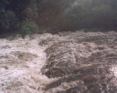
Photo courtesy of
American Whitewater
Description
After the big rapid the river picks up speed and slowly builds up to a ledge, which at high water forms a big hole. The hole looks much more dangerous than it really is.
Location
Radar
Counties
Cell
Verizon
AT&T
T-Mobile
Dark
Satellite
Terrain
Other Rapids on This Run (4)
Rapid
N/A
Put In
0.0 mi
Hazard
V
Kayak Killer
1.0 mi
Rapid
II
the last rapid
1.8 mi
Rapid
N/A
Take Out
2.0 mi
Type
Rapid
Difficulty
Class III
Mile Marker
1.3 mi
Directions
Navigate
View Full Run
Mill Creek to Dug Mountain Access
Eastatoe Creek -2, Lower Gorge
II-III(V)
2.8 mi
Current Conditions
5-Day Forecast
Whitewater data from
American Whitewater
slide