Small Island Rapid - Devil's Elbow
Lehigh - 0.5 Francis Walters Dam to White Haven (PA)
Gauge Conditions
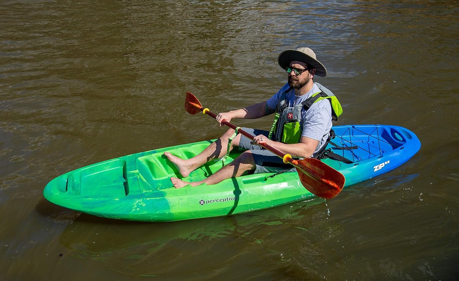
Photo
Description
From the Philadelphia Canoe Club's JR:
Top Lehigh - Small Island Rapid and Novice Students
Over the years, a number of training groups have had problems at this rapid so I thought I'd blather a bit and open a discussion on it.
Location:
About half-way down the top section, there is a small island with several small trees in the left-center of river. The upstream approach has several large ledge-eddies on river-left separated by "sliding-board" holes. On river-left just above the island, there is a ledge that forms a swift narrow tongue of water maybe 6 feet wide with a flat triangular wash-over rock obstructing part of the tongue. There are two left-shore eddies just below the ledge and there is a small eddy (or slow water) on the left side of the island. As the wave-train formed by the fast current passes the island (about 20 yards below), part of it plows into a boulder garden on river left before most of the current bends right out to the center of the river. Once in the center, the river is wide, fast and shallow and a boater must paddle around a lumpy left bend to catch a large eddy at the bottom, river-left.
Why this rapid is often a problem for novices:
Many instructors encourage students to boof the left side of the ledge and catch the top eddy before peeling-out or ferrying to the island. On either of these two moves, a student flip in the fast current can result in a long swim past the island and out to the shallow fast current in the center. Once a swimmer and equipment passes the island, rescue is long and difficult with rock broaches for boaters and bruises likely for swimmers until they round the bend and are pulled into the large river-left eddy at the bottom. This is what I refer to as the "Big Flush."
Options:
Having ushered about a dozen novice groups through this section and chased numerous boats, paddles and bodies all the way around the bend, I've formed a definite opinion on how to approach it. While doing an out-of-boat scout here, I explain the options available INCLUDING walking it. When we encourage students to take a challenging route without indicating options and risks for their individual skill-levels, then we're subjecting everyone to unnecessary danger.
Aside from portage (which should ALWAYS be an offered option), there are two and sometimes three in-boat options that can be presented when scouting this rapid - depending on the river level and how much support is available.
Option 1 - IF students have been hitting their eddy's high and are able to perform ferries in swift current without loosing ferry angle (or flipping)... then they are a good candidate for boofing the left edge of the ledge, catching the river-left eddy and either ferrying to the island or heading out to the center of the river after passing the island. It is often the top ledge boof or the ferry to the island where long difficult swims start if a students skills are not developed. I've heard of some groups that position an out-of-boat person on the island or wash-over rock with a throw-bag. This is a good idea if you have enough support and your students have been throw-bag trained. Of course, there's no guarantee that a rope will be caught and if I can't spare a helper, then I prefer to have everyone in their boats ready to chase boats and bodies. Once a student and/or equipment passes the island and heads downstream, an instructor or assistant must be expended to chase them. So, spot-on eddy-catching and ferrying skills should be prerequisites for this option.
For students that have NOT been hitting eddy's high and performing swift current ferries:
Option 2 - There is a small tongue of water just upstream from the point of the island that a student can get to with a wide peel-out from the starting eddy. After going through the tongue, a quick right-side sweep is needed to avoid a rock broach. Once they've made the turn to avoid the rocks, the eddy next to the island is easy to paddle into. I usually position myself or one assistant in the island eddy to get there quickly. I like this move for less-developed students because, even with the risk of broaching after the tongue, the current is much slower here and if a student flips and swims, rescue to the island is easy. If an additional assistant helps in a rescue here, they are still positioned to help the next student. This option helps your group stay tight to the island and avoids the "big flush" for less skilled students.
Option 3 - If the level is 750cfs+, the river-right side is lumpy but passable. The downside to this option is that you need to commit at least one assistant to accompany the student - one that you won't get back to the island area. The start off requires a wide ferry and peel-out to the river-right side and either avoiding or punching a couple of small holes. I only recommend this for a less-skilled student if I have plenty of support and by placing them last in order. Otherwise, it's portage or Option 2.
There are no guarantees and there are probably other options that I haven't considered for this spot. The bottom line is that if we point out what options that a student has and make recommendations based on their skill levels, support and water conditions, then we're doing our jobs as instructors and allowing the student to "assume the risk" with an informed choice followed by our recommendations. As instructors, we can always say "No" to a challenging choice if we don't think the students skills are up to it or if support is not immediately available. Concern for group safety should always trump an instructors desire to challenge.
Location
Other Rapids on This Run (3)
Current Conditions
5-Day Forecast
American Whitewater