Gauge Conditions
Runnable: 700.0 – 5,000.0 CFS
Data from American Whitewater & USGS
Photo
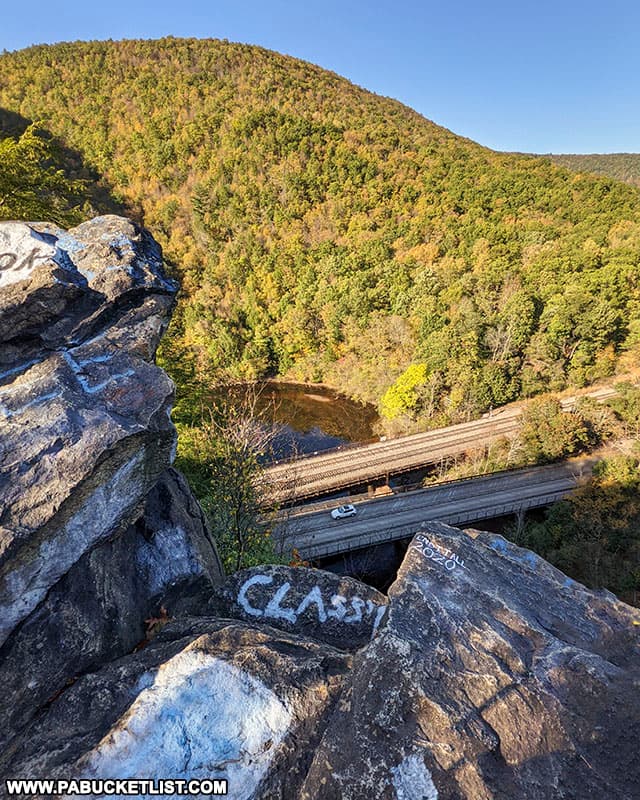
Photo courtesy of American Whitewater
Description
The trickiest spot is just above the Turnpike bridge. An island splits the river here. At the very bottom of the island in the left-hand channel lies Pam's Rock, a boat-length off the right shore of the island. Much of the water down this channel hits the rock and lasts off to the left, almost perpendicular to the river course. Run well to the left of Pam's Rock to avoid this cross current...it's a flipper for beginners.
Location
Other Rapids on This Run (3)


View Full Run
0.5 Francis Walters Dam to White Haven
Lehigh
II(III)
6.0 mi
Hazard — Exercise extreme caution in this area.
Current Conditions
5-Day Forecast
Whitewater data from
American Whitewater
American Whitewater