Gauge Conditions
Range for best boatability uncertain. Please help your fellow paddlers by providing a comment or report.
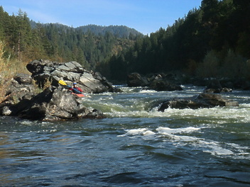
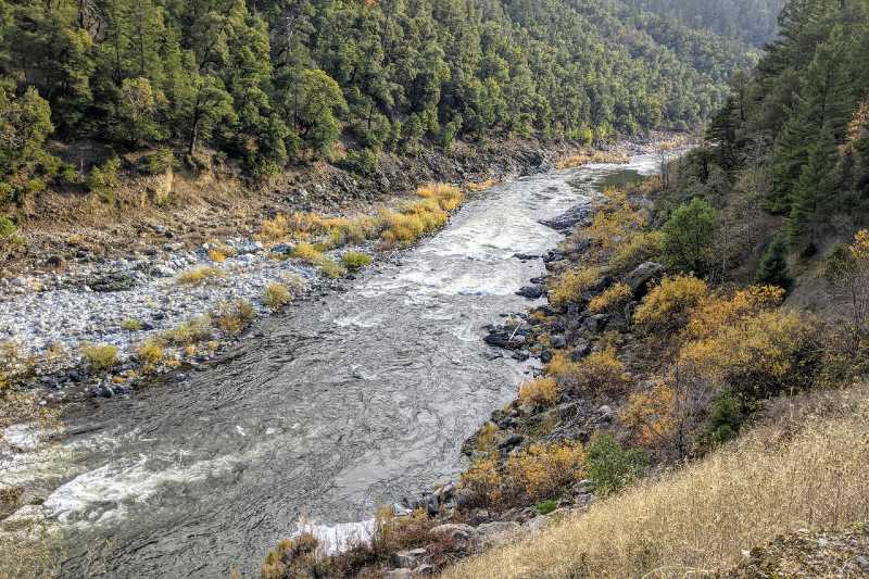
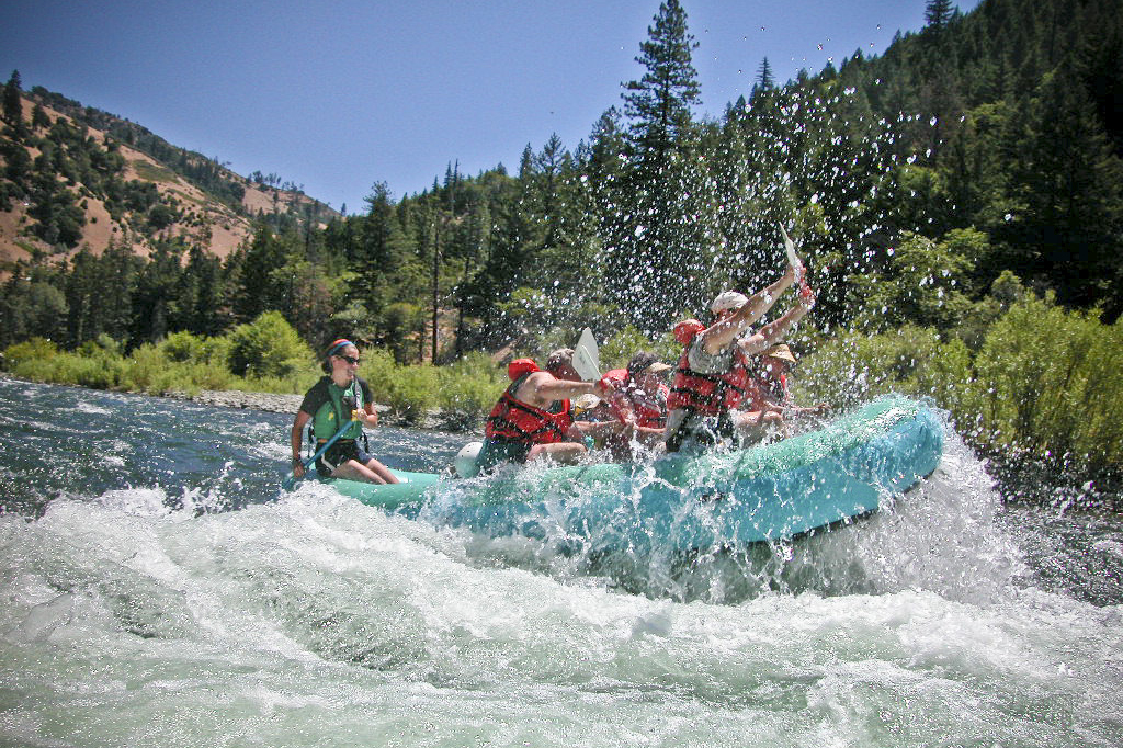
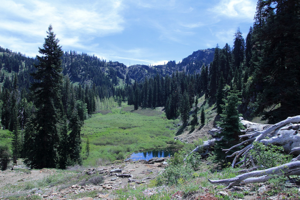
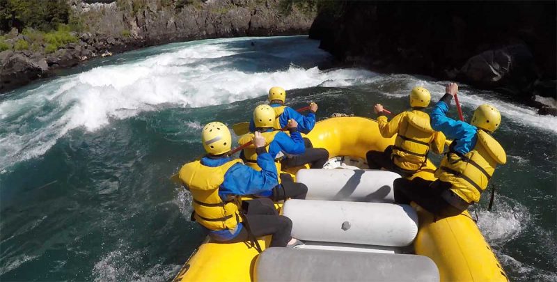
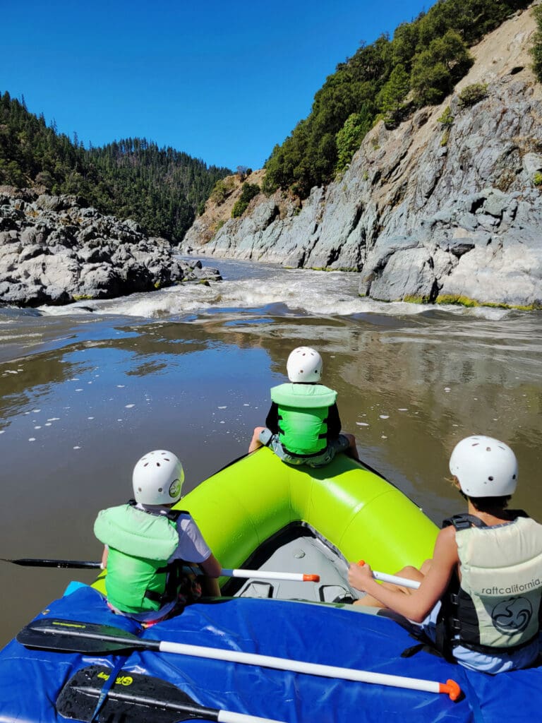
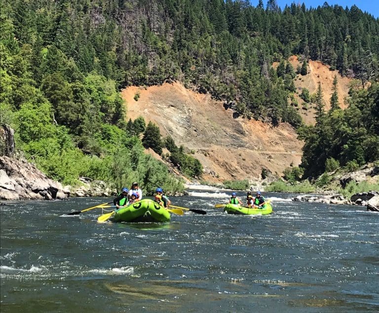
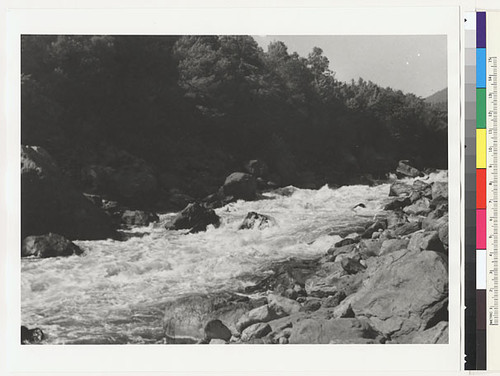
Photo
Description
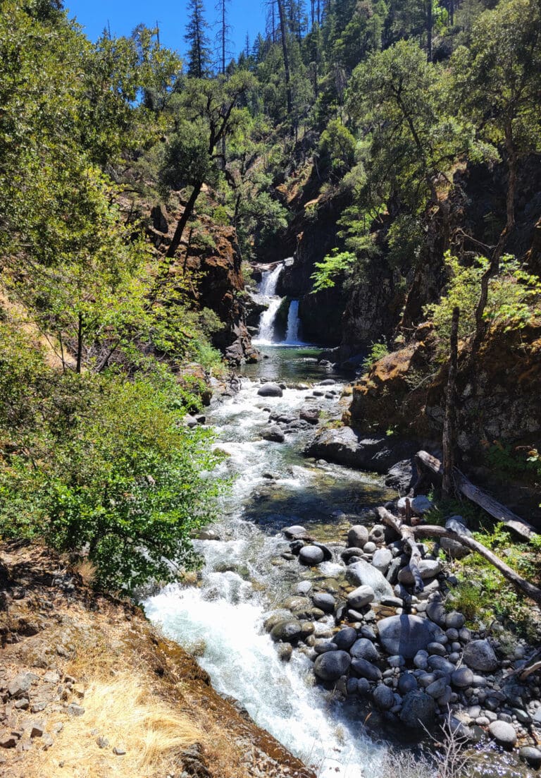
This access is at Highway 96 mile 4.9 and is a standard take-out for this section. The sign along Highway 96 is faded but the dirt that goes to the river is on the east side of Highway 96 on the downstream of the R. Lyle Davis bridge (very shortly after the bridge on the left if you are driving downriver). Take this dirt road then be sure to bear left onto the steeper road that drops to river level immediately upstream of the brisge. The road is steep with a sharp switchback that could be an issue for longer vehicles and trailers. This Forest Service-managed access has a large gravel bar with ample staging area for loading up after a trip. More information at https://www.fs.usda.gov/r05/klamath/recreation/stuarts-bar-river-access.
Location
Other Rapids on This Run (16)
 Rapid
N/A
Rapid
N/A
 Rapid
II
Rapid
II
 Rapid
N/A
Rapid
N/A
 Rapid
N/A
Rapid
N/A
 Rapid
II
Rapid
II
 Rapid
II
Rapid
II
 Rapid
II
Rapid
II
 Rapid
N/A
Rapid
N/A
 Rapid
N/A
Rapid
N/A
 Rapid
N/A
Rapid
N/A
 Rapid
II
Rapid
II
 Rapid
II
Rapid
II
 Rapid
II+
Rapid
II+
 Rapid
II
Rapid
II
 Rapid
N/A
Rapid
N/A
 Portage
V
Portage
V
Current Conditions
5-Day Forecast
American Whitewater