Take-out
KY
Take Out
Gunpowder Creek, South Fork - 1) South Fork Park to Camp Ernst Road (3.7 miles) (KY)
Gauge Conditions
Runnable: ? – ? CFS
Approximate - nearest available gauge. Use as general reference only.
Data from American Whitewater & USGS
Photo

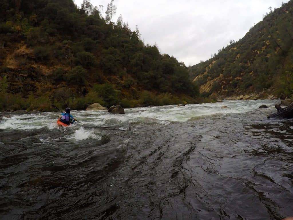
Photo courtesy of American Whitewater
Description
Take Out rapid marks the end of the South Fork run, featuring a complex boulder garden that demands precise boat positioning and line selection. Paddlers must navigate multiple rock slots and potential pin hazards, with the main channel shifting seasonally and requiring careful scouting depending on water levels.
Location
Other Rapids on This Run (1)
View Full Run
1) South Fork Park to Camp Ernst Road (3.7 miles)
Gunpowder Creek, South Fork
II+
4.0 mi
Current Conditions
5-Day Forecast
Whitewater data from
American Whitewater
American Whitewater