Gauge Conditions
Runnable: ? – ? CFS
Approximate - nearest available gauge. Use as general reference only.
Data from American Whitewater & USGS
CDEC Flow Data California
Data from California Data Exchange Center (CDEC)
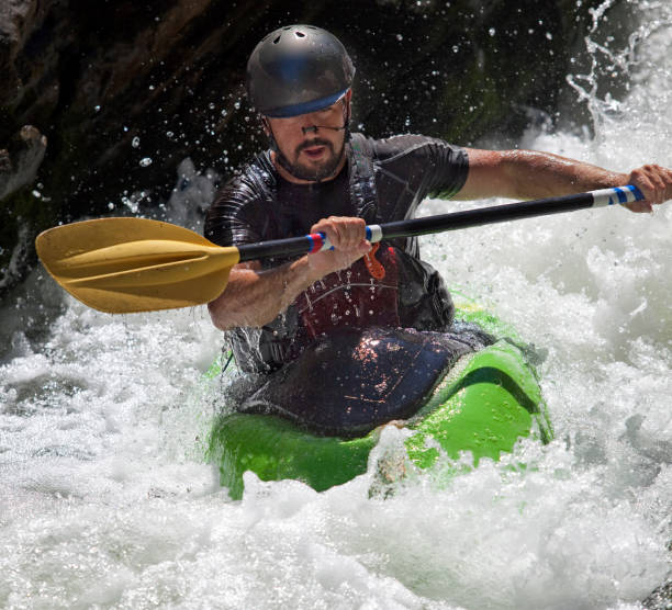
Photo
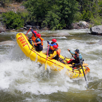
Photo courtesy of American Whitewater
Description
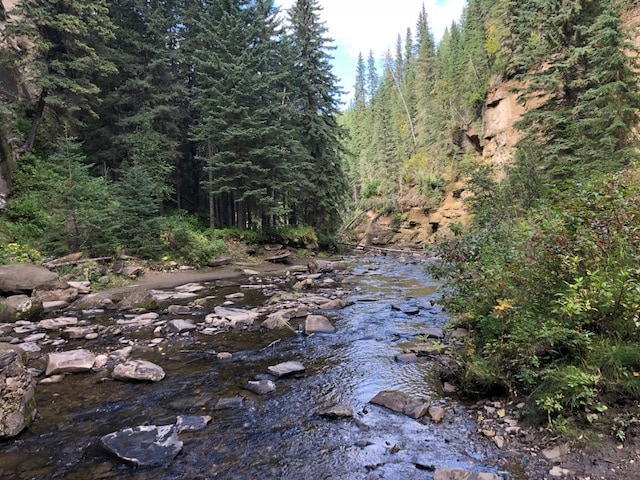
Take Out marks the end of the Upper Piru Creek run, presenting a challenging transition point where paddlers must navigate carefully to exit the river safely. The rapid likely involves technical maneuvering around potential obstacles near the takeout point, requiring precise boat control and awareness of surrounding terrain.
Location
Other Rapids on This Run (5)
View Full Run
1) Upper
Piru Creek
IV-V
31.2 mi
Current Conditions
5-Day Forecast
Whitewater data from
American Whitewater
American Whitewater