Gauge Conditions
Runnable: ? – ? CFS
Approximate - nearest available gauge. Use as general reference only.
Data from American Whitewater & USGS
Photo

Photo courtesy of American Whitewater
Description
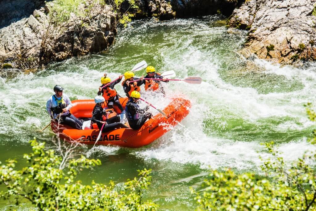
Take Out marks the end of the Upper Payette Lake run, where paddlers transition from river to lake. While not a technical rapid itself, the confluence requires careful navigation to avoid potential boat traffic and ensure a smooth transition from moving to still water.
Location
Other Rapids on This Run (3)

View Full Run
1. Upper Payette Lake to Payette Lake
Payette, N. Fork
I-IV
11.6 mi
Current Conditions
5-Day Forecast
Whitewater data from
American Whitewater
American Whitewater