Gauge Conditions
Runnable: ? – ? CFS
Approximate - nearest available gauge. Use as general reference only.
Data from American Whitewater & USGS
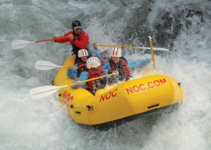
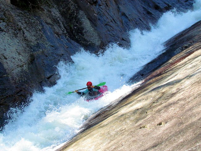
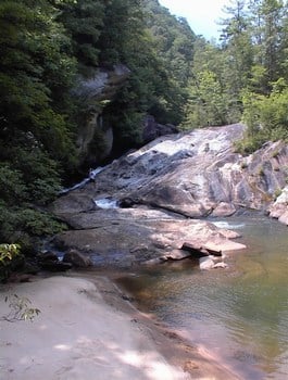
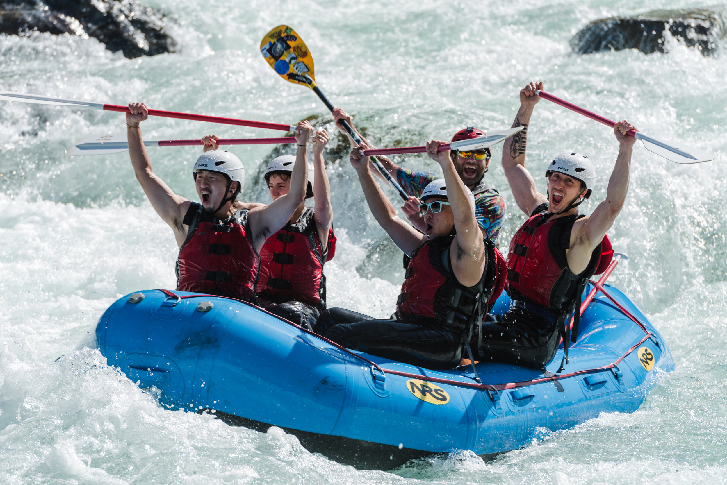
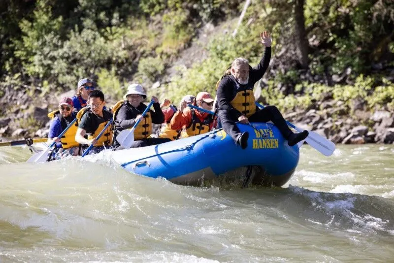
Photo
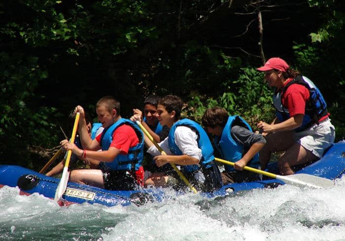
Photo courtesy of American Whitewater
Description
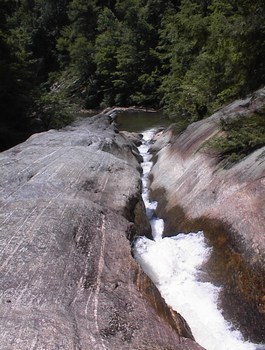
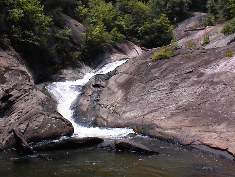
Take Out is the terminal rapid marking the end of this challenging Toxaway River section, typically signaling the conclusion of a complex and technical run. Paddlers should be alert for potential debris and shifting water conditions as the river transitions from its previous gradient, with careful route selection crucial to safely navigating the final stretch before reaching Augerhole Road.
Location
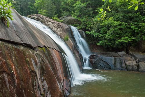
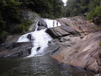
Other Rapids on This Run (20)
 Waterfall
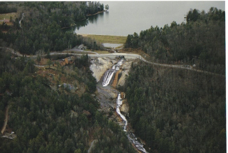
Toxaway Falls
 Waterfall
V
Waterfall
V
First Slide
Rapid
IV
First Mank
 Waterfall
V
Waterfall
V
Twin Falls
Rapid
IV+
Space Mountain part one
Rapid
V
Space Mountain part two
Rapid
IV+
Slide on left bank
Rapid
IV
Entrance to folding slide
Rapid
IV+
Folding slide
 Waterfall
V
Waterfall
V
Sticky hole slide
 Waterfall
V+
Waterfall
V+
Minigizer
 Hazard
Portage above Energizer
 Waterfall
V+
Waterfall
V+
Energizer
 Waterfall
Portage below Energizer
 Hazard
IV
Hazard
IV
Crappy Boulder Series
 Hazard
V+
Hazard
V+
Big Mank
 Hazard
V+
Hazard
V+
Feeding Trough
 Waterfall
IV+
Waterfall
IV+
20 foot falls
 Waterfall
V+
Waterfall
V+
40/40
 Waterfall
V+
Waterfall
V+
Landbridge
View Full Run
2. Highway 64 to Augerhole Road
Toxaway River
V+
6.1 mi
Current Conditions
5-Day Forecast
Whitewater data from
American Whitewater
American Whitewater