Take-out
MD
Take Out
Youghiogheny - 2. Top - Swallow Falls Rd. (Bridge above Swallow Falls [State Park]) to Hoyes Run. (MD)
Gauge Conditions
Data from American Whitewater & USGS
Photo
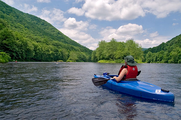
Photo courtesy of American Whitewater
Description
Take Out is located at the takeout point for the section, marking the end of the run near Swallow Falls Road. While specifics about the rapid itself are limited, paddlers should be prepared for potential shallow areas, potential rock obstacles, and the transition from river to takeout point that may require careful navigation depending on water levels and conditions.
Location
Other Rapids on This Run (5)

View Full Run
2. Top - Swallow Falls Rd. (Bridge above Swallow Falls [State Park]) to Hoyes Run.
Youghiogheny
IV-V
2.8 mi
Current Conditions
5-Day Forecast
Whitewater data from
American Whitewater
American Whitewater