Gauge Conditions
Data from American Whitewater & USGS
Photo
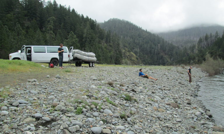
Photo courtesy of American Whitewater
Description
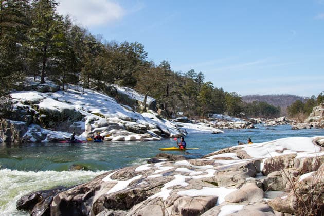
Take Out rapid marks the end of this river section, featuring a straightforward exit point with minimal technical challenges. Paddlers should be aware of potential debris and shallow areas near the takeout point, which can vary depending on water levels. While not a difficult rapid, careful navigation is still recommended to ensure a safe and clean exit from the river.
Location
Other Rapids on This Run (2)

View Full Run
4) Hwy 16 to Arkansas 59 Near Siloam Springs (5.1 miles)
Illinois
I-II
5.3 mi
Current Conditions
5-Day Forecast
Whitewater data from
American Whitewater
American Whitewater