Gauge Conditions
Runnable: 200.0 – 10,000.0 CFS
Best boatable levels uncertain. Help us out! Add a comment or 'report'.
Data from American Whitewater & USGS
Photo
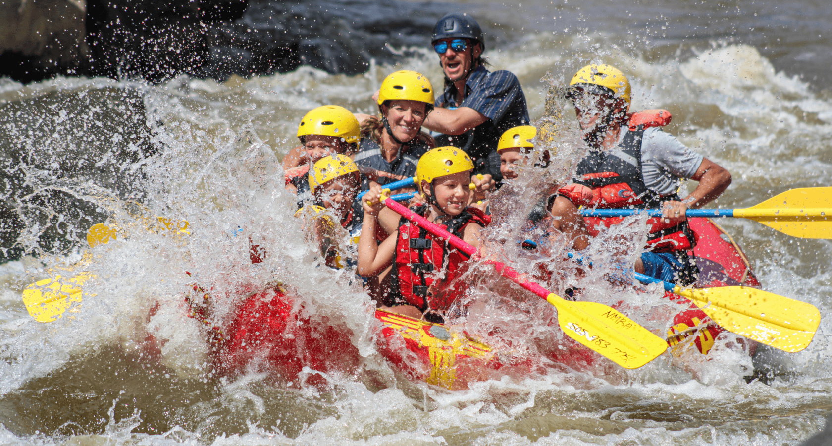
Photo courtesy of American Whitewater
Description
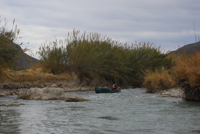
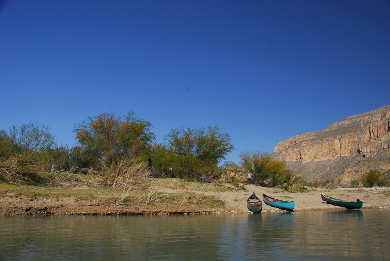
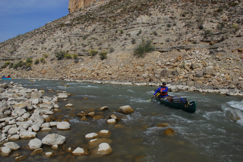
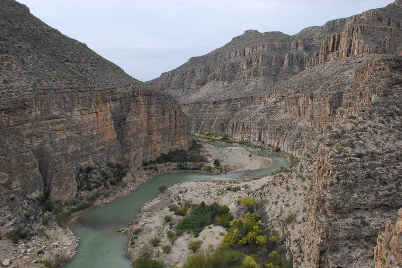
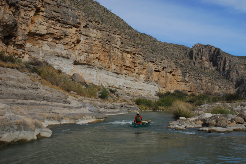
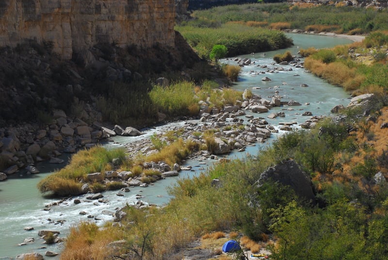
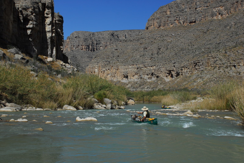
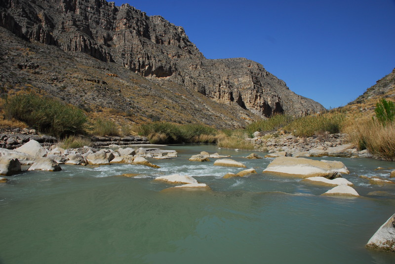
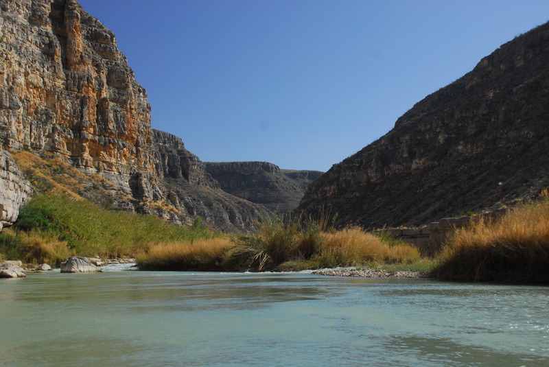
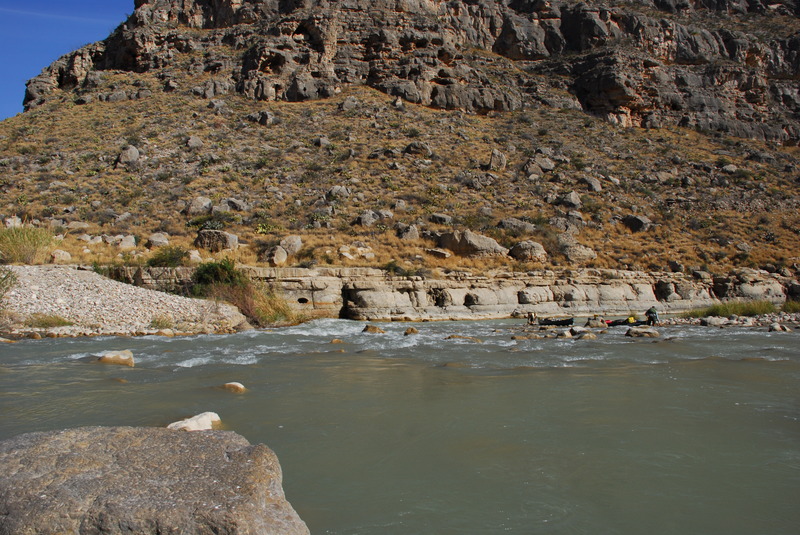
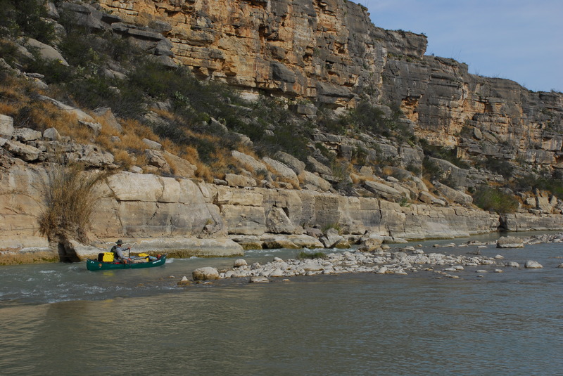
Take Out marks the end of the Lower Canyons section, serving as a critical exit point for multi-day river trips through this remote wilderness stretch of the Rio Grande. Paddlers should carefully scout the river left takeout to ensure safe boat extraction, as the area may have challenging terrain and limited access points in this isolated canyon region.
Location
Other Rapids on This Run (15)
Rapid
N/A
Heath Canyon Ranch at La Linda Put-in
 Rapid
II
Rapid
II
Maravillas Rapid
 Rapid
II
Rapid
II
Big Canyon Rapid
 Rapid
II+
Rapid
II+
El Recodo Rapid
 Rapid
I
Rapid
I
Silber Canyon Rapid
 Rapid
III+
Rapid
III+
Hot Springs Rapid
 Rapid
II
Rapid
II
Bullis Fold Rapid
 Rapid
II+
Rapid
II+
Palmas Canyon Rapid
 Rapid
II
Rapid
II
Rodeo Rapid
 Rapid
IV
Rapid
IV
Upper Madison Falls Rapid
 Rapid
II
Rapid
II
Son of Burro Rapid
 Rapid
III
Rapid
III
Lower Madison Falls
 Rapid
II+
Rapid
II+
Panther Canyon Rapid
 Rapid
II+
Rapid
II+
San Francisco Rapid
 Rapid
II
Rapid
II
Sanderson Canyon Rapid
View Full Run
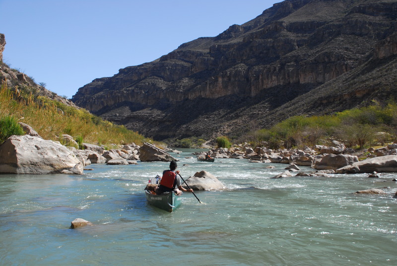
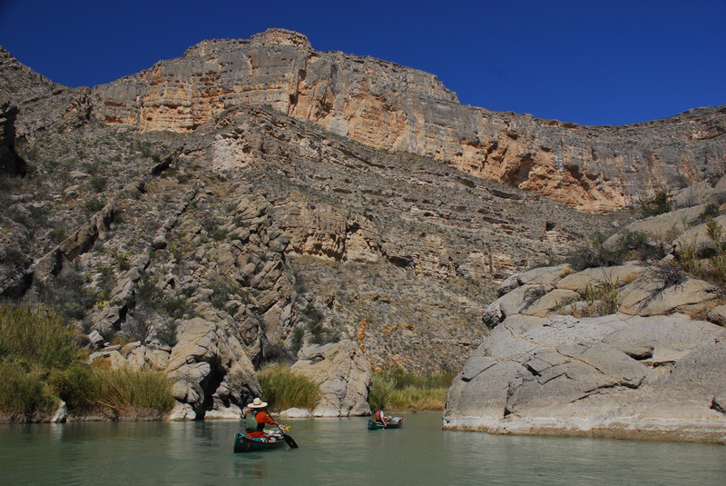
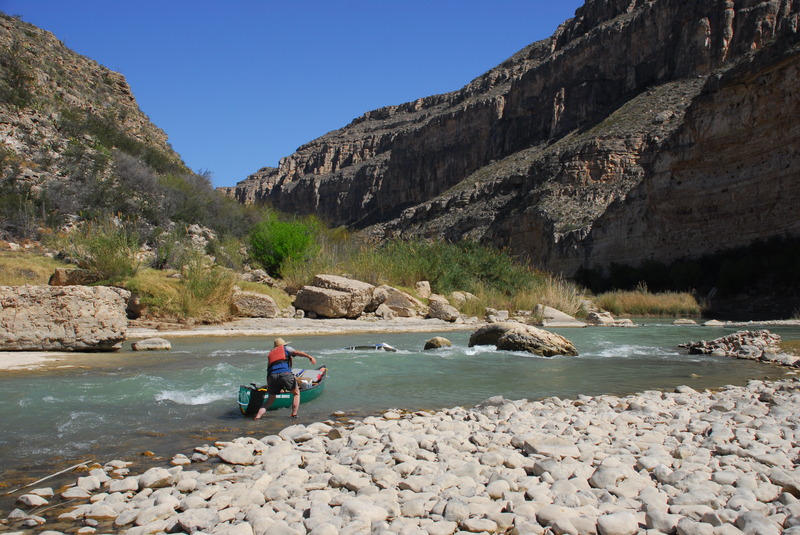
7. Lower Canyons: La Linda to Dryden Crossing (83.5 miles)
Rio Grande
II-III+
84.3 mi
Current Conditions
5-Day Forecast
Whitewater data from
American Whitewater
American Whitewater