Gauge Conditions
Runnable: ? – ? CFS
Approximate - nearest available gauge. Use as general reference only.
Data from American Whitewater & USGS
Photo
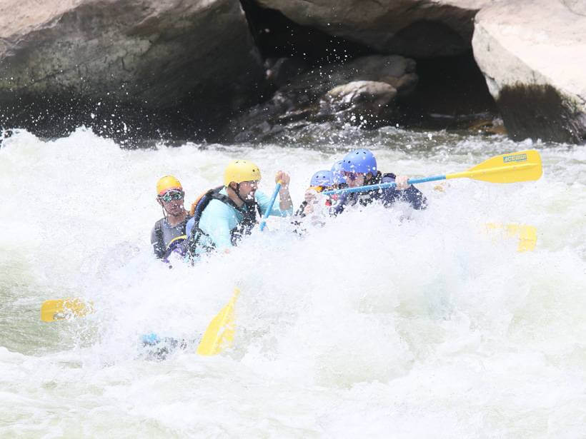
Photo courtesy of American Whitewater
Description
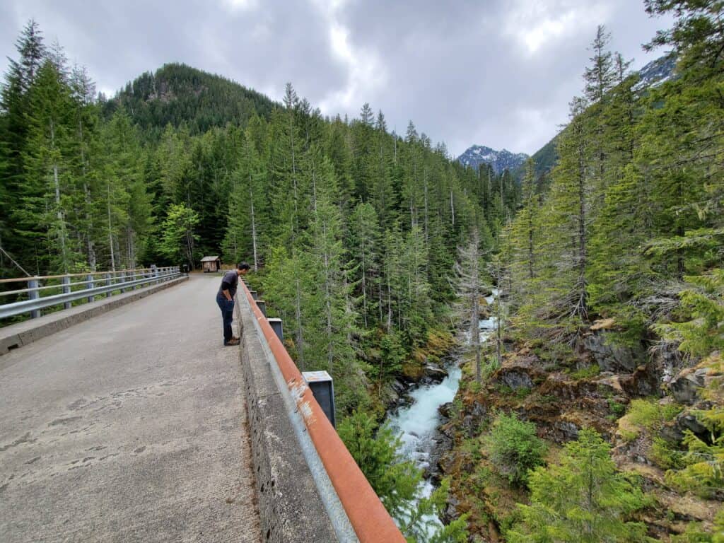
The take-out is on lands administered by Washington Department of Natural Resources on river right a short distance below U Turn but before the river drops into the gorge. An old logging spur used to provide access down to the river but it's hard to find and recent timber operations in the area have provided alternative options. It's best to drive along the road and find a good access point that will require hiking up from the river.
Location
Other Rapids on This Run (2)
View Full Run
2. Hamma Hamma Campground to gorge (Lower)
Hamma Hamma
III-IV
4.6 mi
Current Conditions
5-Day Forecast
Whitewater data from
American Whitewater
American Whitewater