Gauge Conditions
Runnable: ? – ? CFS
Approximate - nearest available gauge. Use as general reference only.
Data from American Whitewater & USGS
Photo
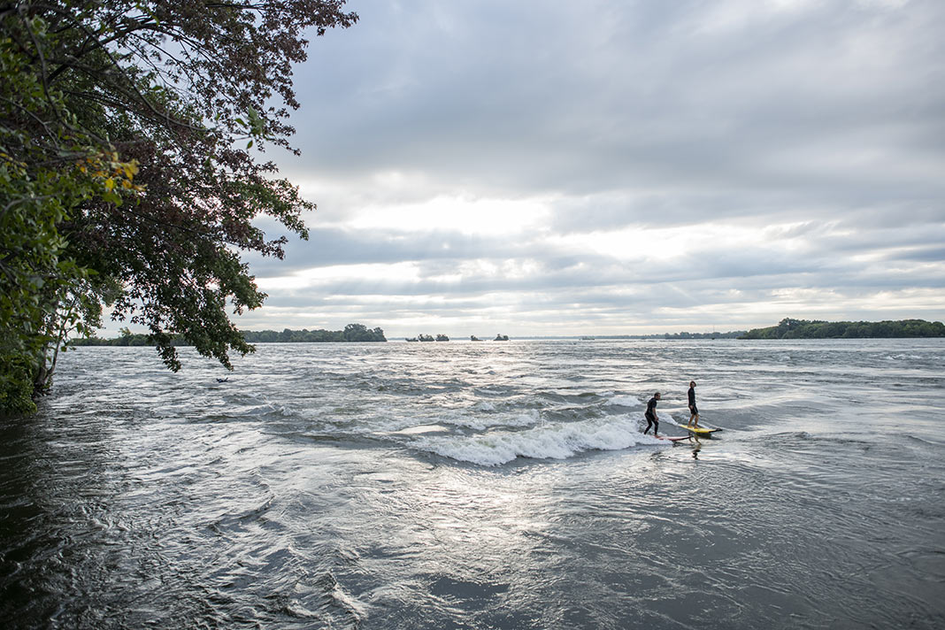
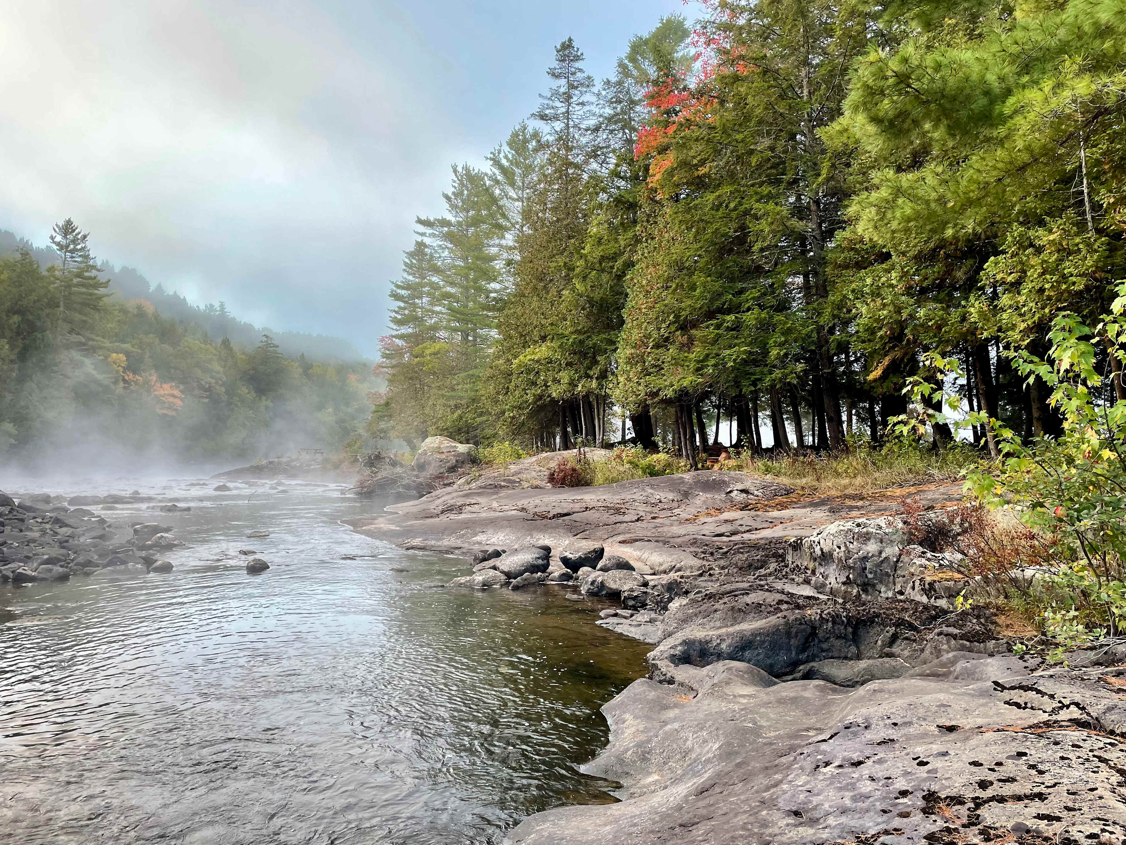
Photo courtesy of American Whitewater
Description
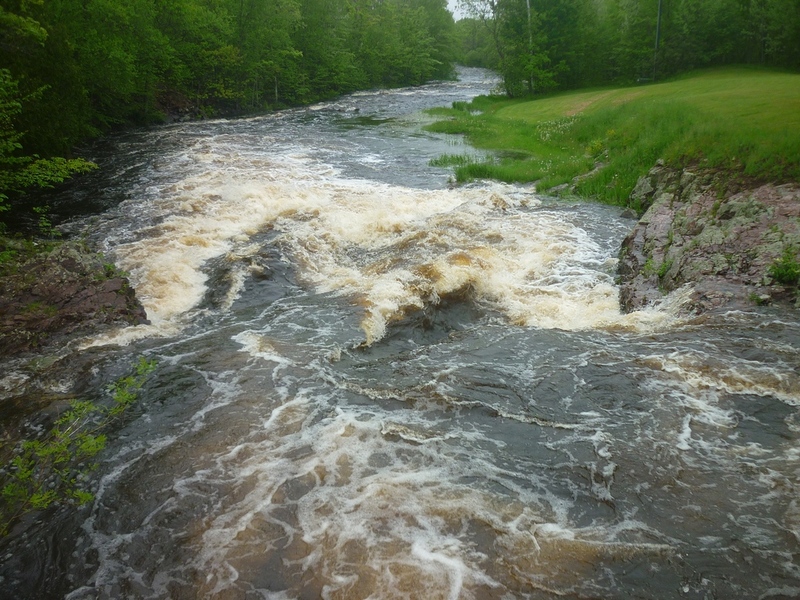
Take Out is a transition point marking the end of the Gile Falls section, requiring careful navigation through potential debris and boulder fields. While not technically rated, paddlers should be alert for submerged rocks and potential strainers near the exit point, especially during low water conditions when hidden obstacles become more prominent.
Location

View Full Run
B) Gile Falls to Hwy.2 (6.3 miles)
Montreal, W.Fk.
II-IV
6.1 mi
Current Conditions
5-Day Forecast
Whitewater data from
American Whitewater
American Whitewater