Gauge Conditions
Runnable: 1,000.0 – 1,500.0 CFS
Uncertain of best flows for this reach. This range (1000-1500) is mostly to indicate LIKELY boatable flows on OTHER North Shore runs.
Data from American Whitewater & USGS
Photo
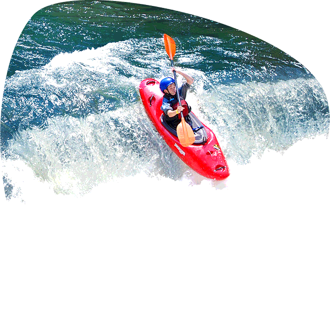
Photo courtesy of American Whitewater
Description
Take Out marks the end of this section, featuring a straightforward but critical transition point for paddlers exiting the river at the highway. While not technically challenging, careful navigation is required to safely reach the takeout point, with potential for shallow areas and potential obstacles near the exit zone.
Location


View Full Run
B) Old Hwy.61/MN89 to Hwy.61 (8 miles)
Pigeon
II-III+(V)
8.3 mi
Current Conditions
5-Day Forecast
Whitewater data from
American Whitewater
American Whitewater