Gauge Conditions
Runnable: ? – ? CFS
Approximate - nearest available gauge. Use as general reference only.
Data from American Whitewater & USGS
CDEC Flow Data California
Data from California Data Exchange Center (CDEC)
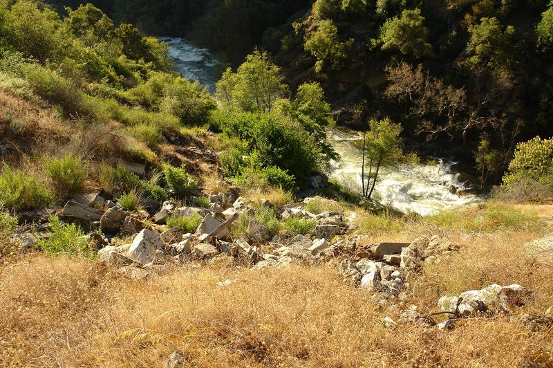
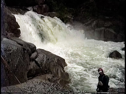
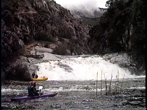
Photo
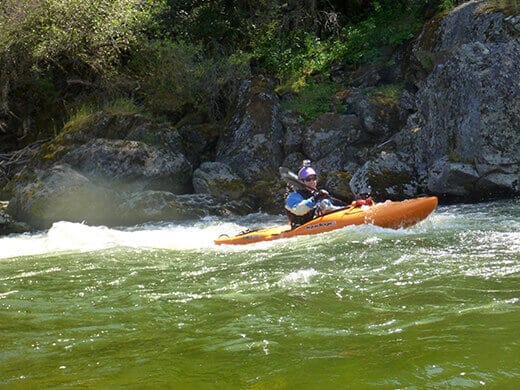
Photo courtesy of American Whitewater
Description
Take Out rapid marks the end of this river section, situated at the confluence with Dinkey Creek. The rapid's characteristics are undefined, likely due to variable water levels or limited documentation. Paddlers should exercise caution and scout the area thoroughly before attempting passage.
Location
Other Rapids on This Run (3)
View Full Run
Balch Afterbay to confluence with Dinkey Creek
Kings, N. Fork
V
1.6 mi
Current Conditions
5-Day Forecast
Whitewater data from
American Whitewater
American Whitewater