Gauge Conditions
Runnable: ? – ? CFS
Approximate - nearest available gauge. Use as general reference only.
Data from American Whitewater & USGS
Photo
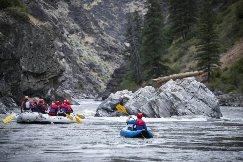
Photo courtesy of American Whitewater
Description
Take Out rapid marks the end of this river section, characterized by a straightforward run with minimal technical challenges. Paddlers should be aware of potential shallow areas and scattered rock formations near the river's edge, which may require careful navigation during low water conditions. While not a particularly difficult rapid, attentiveness to river dynamics and potential obstacles is recommended.
Location
View Full Run
Camp Evelyn to Woodland Road (1.25-2.34 miles)
Mullet
I-II
1.2 mi
Current Conditions
5-Day Forecast
Whitewater data from
American Whitewater
American Whitewater