Take-out
KY
Take Out
Cedar Creek (Floyds Fork trib.) - Cedar Creek Rd near Johnson School Rd to Bells Mill Rd (12.2 miles) (KY)
Gauge Conditions
Runnable: 1.3 – 2.0 FT
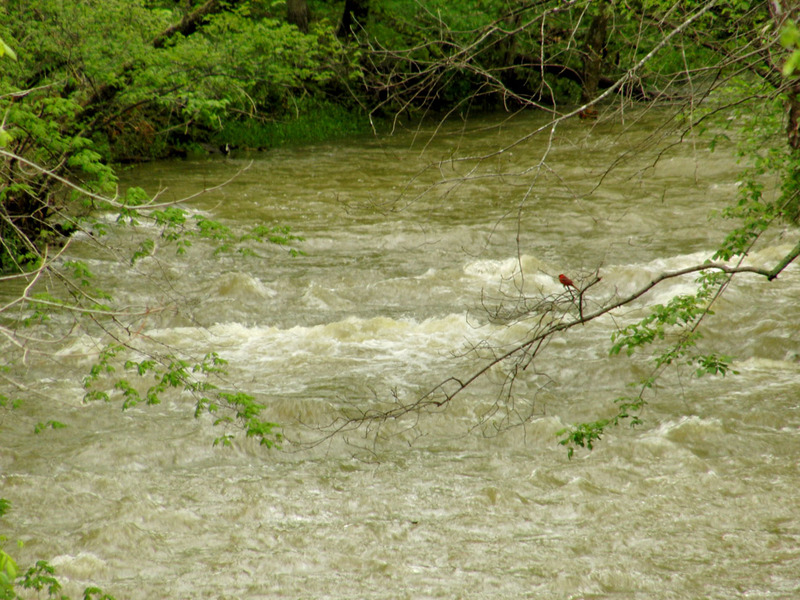
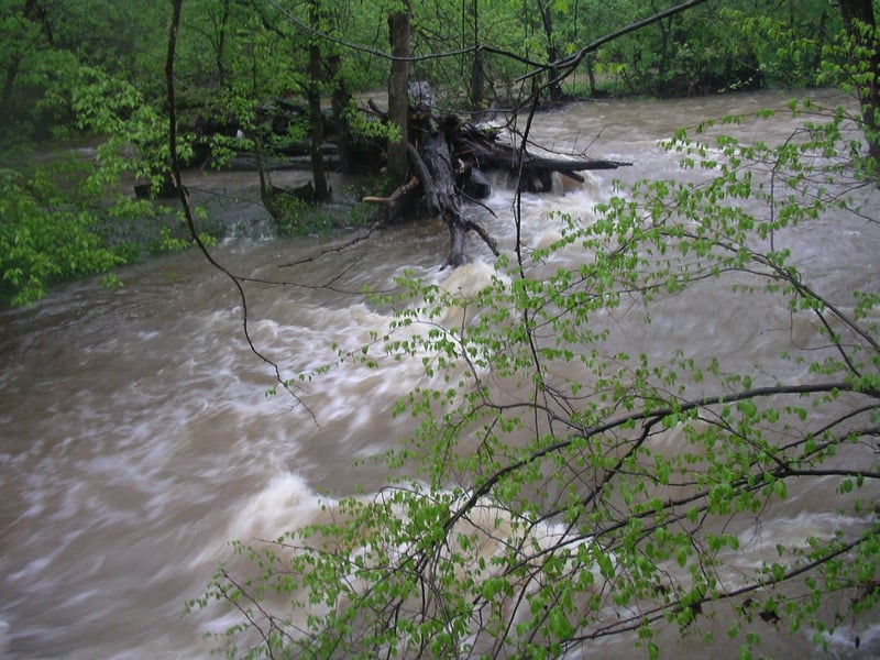
So shallow you might have to get out a few times, but at 30 CFS we had a fun scenic time and even found some whitewater.
Data from American Whitewater & USGS
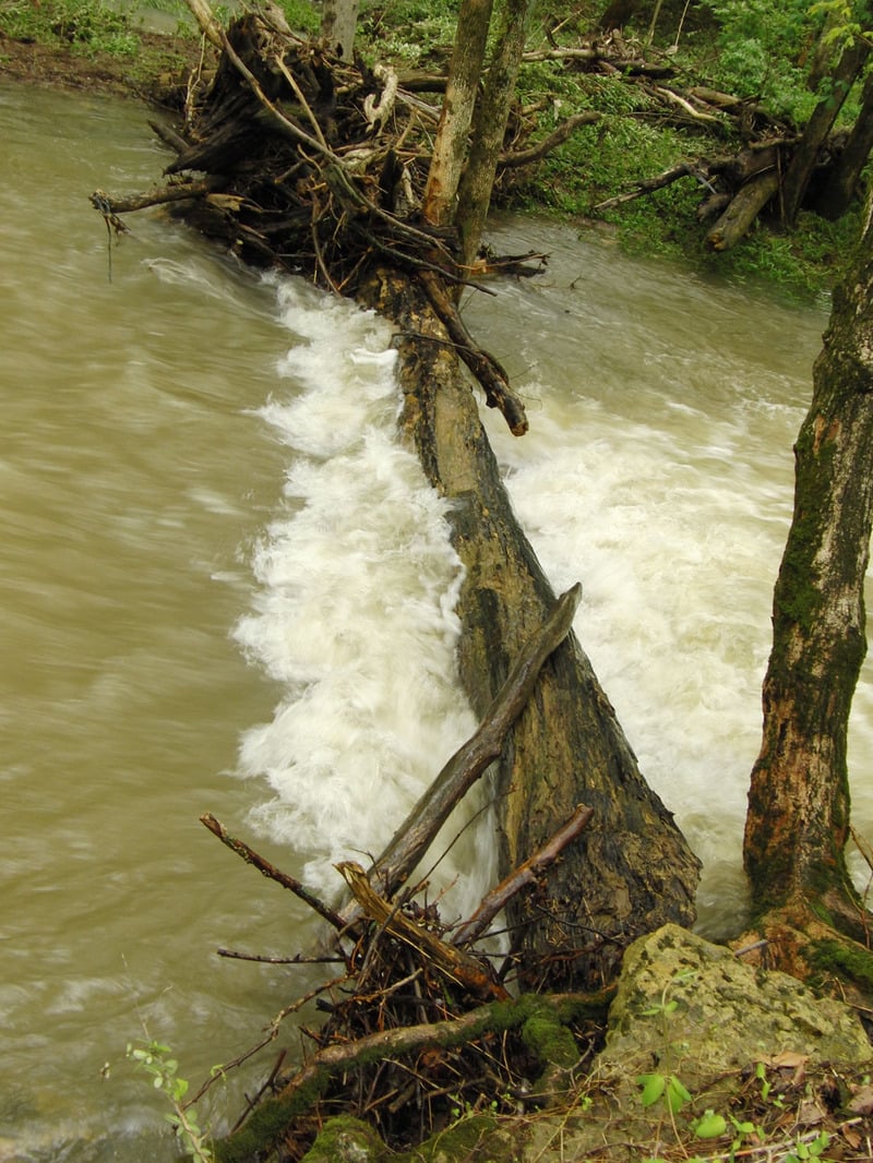
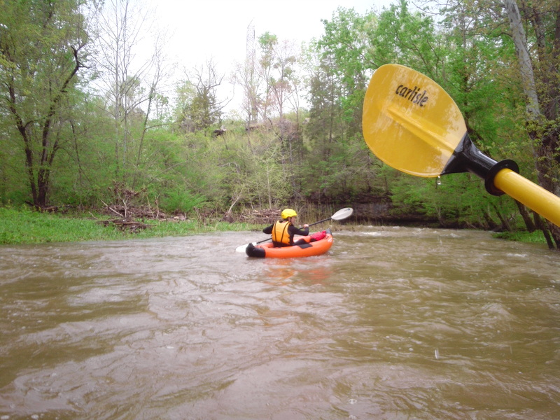
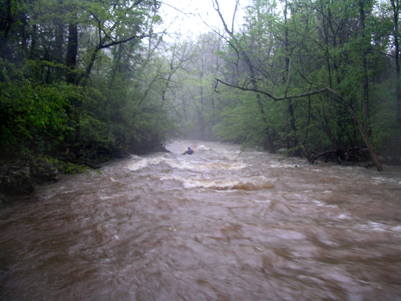
Photo
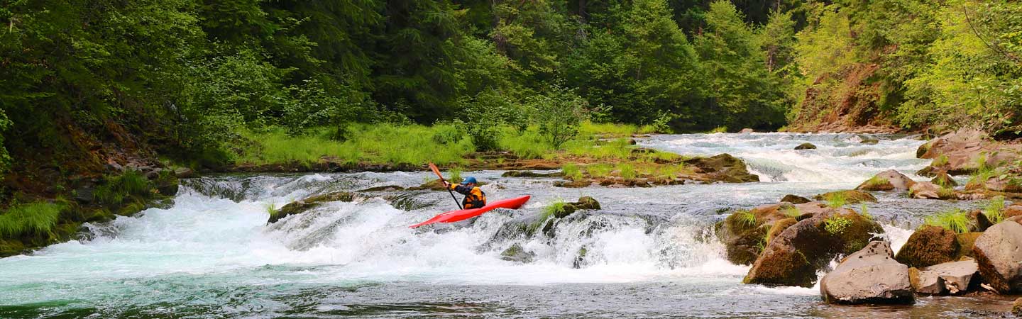
Photo courtesy of American Whitewater
Description
Take Out rapid on Cedar Creek features a straightforward but potentially rocky descent with scattered mid-stream boulders that require careful navigation. Paddlers should be prepared to read and react to the boulder field, selecting a clean line that avoids potential pinning hazards and maintains downstream momentum. Water levels can significantly impact the rapid's character, so scouting and local beta are recommended before running this section.
Location
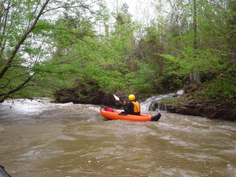
Other Rapids on This Run (14)
 Rapid
N/A
Rapid
N/A
Put In
 Rapid
I
Rapid
I
Falls of Cedar Creek
 Hazard
I
Hazard
I
Sidewalk Rapids
 Hazard
N/A
Hazard
N/A
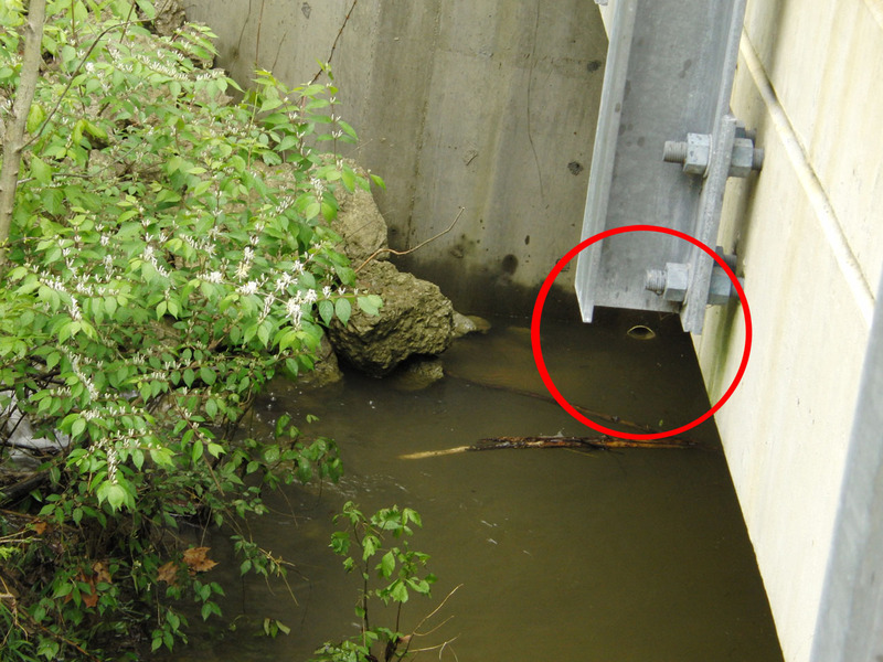
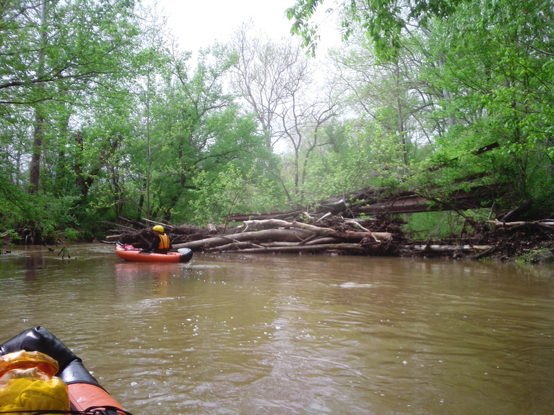
Creekwide Log Strainer
 Hazard
N/A
Hazard
N/A
Tons of giant strainers
 Rapid
I
Rapid
I
Double Boulder
 Playspot
II
Playspot
II
Entrance Rapid
 Rapid
I
Rapid
I
Turtle Rapid
 Rapid
I
Rapid
I
Catch Me If You Can
 Hazard
N/A
Hazard
N/A
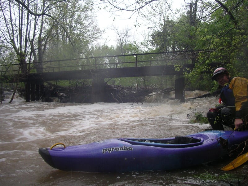
Bridge that catches wood 1
 Hazard
N/A
Hazard
N/A
Bridge that catches wood 2
 Playspot
II
Playspot
II
Roostertail Rapid
 Hazard
II
Hazard
II
The Cove Rapid
 Playspot
I
Playspot
I
River Right Surf Wave
View Full Run
Cedar Creek Rd near Johnson School Rd to Bells Mill Rd (12.2 miles)
Cedar Creek (Floyds Fork trib.)
II
12.4 mi
Current Conditions
5-Day Forecast
Whitewater data from
American Whitewater
American Whitewater