Gauge Conditions
Runnable: ? – ? CFS
Approximate - nearest available gauge. Use as general reference only.
Data from American Whitewater & USGS
Photo

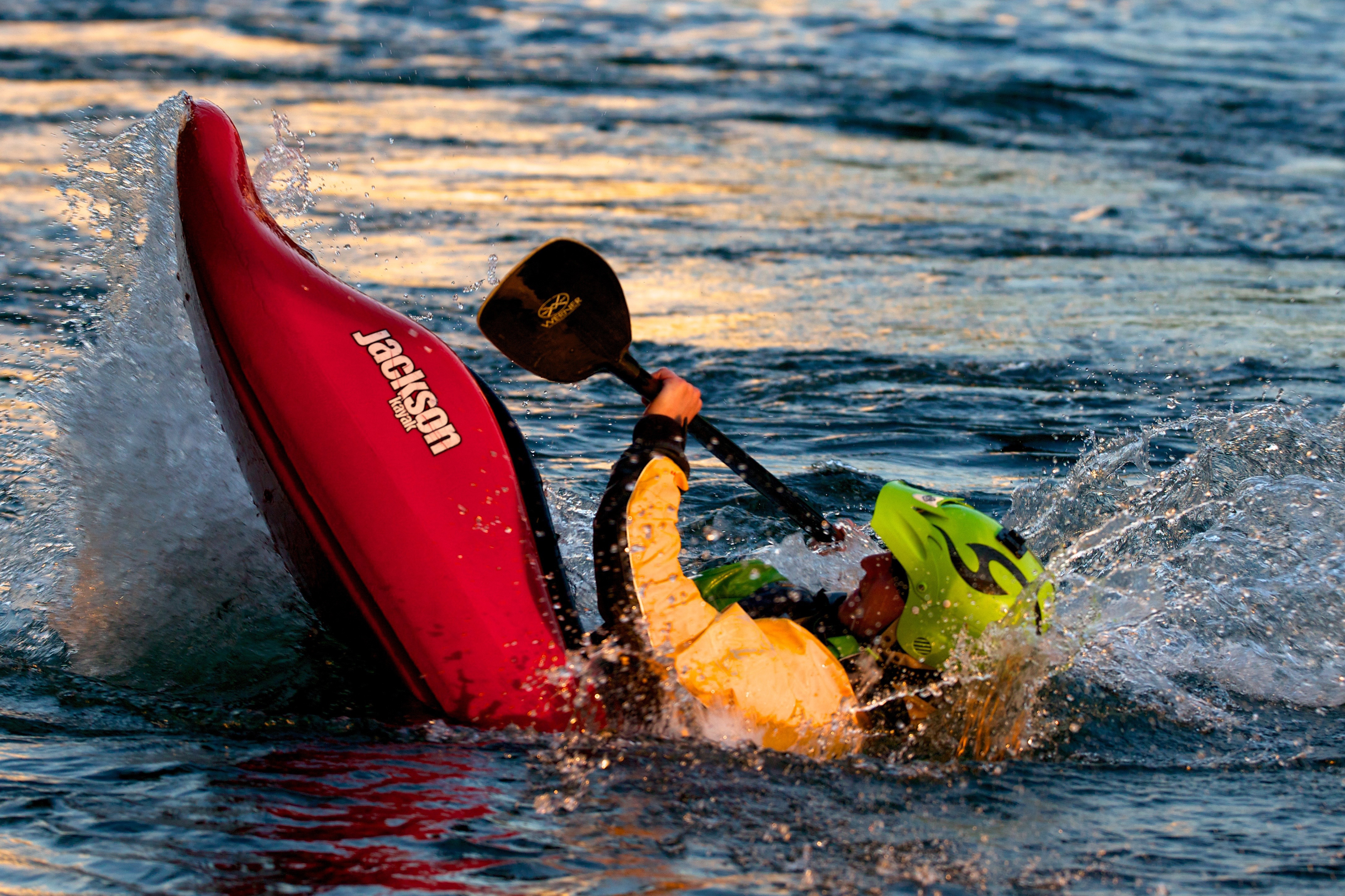
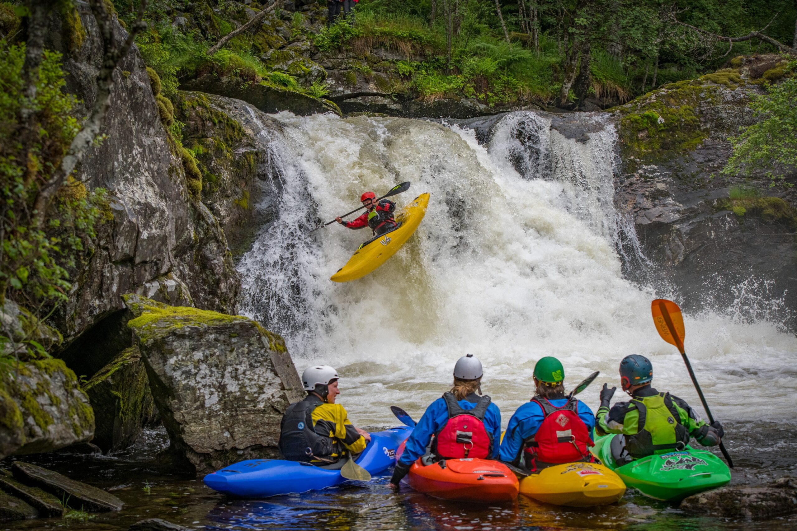
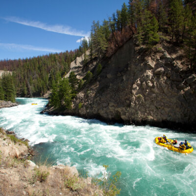
Photo courtesy of American Whitewater
Description
A(coupleof?) good-sized island(s) populate the confluence with the Chippewa (below Belille Falls).
Take-out may be done just before the confluence, as Hwy.40 is very near the stream.
Otherwise, continue (just more than 0.7 mile) down the Chippewa to Town Line Road to take out there.
Location


View Full Run
Couderay Village Park to Chippewa River ( 7.6 miles)
Couderay
I-II
7.6 mi
Current Conditions
5-Day Forecast
Whitewater data from
American Whitewater
American Whitewater