Take-out
KY
Take Out
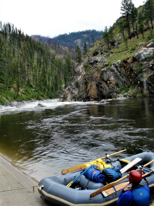
Cumberland, Martins Fork - Cumberland Gap National Historical Park to route 987 (1.6 miles) (KY)
Gauge Conditions
Data from American Whitewater & USGS
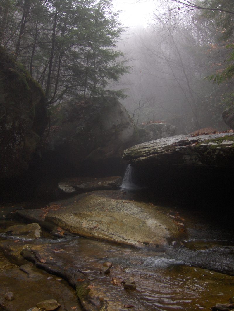
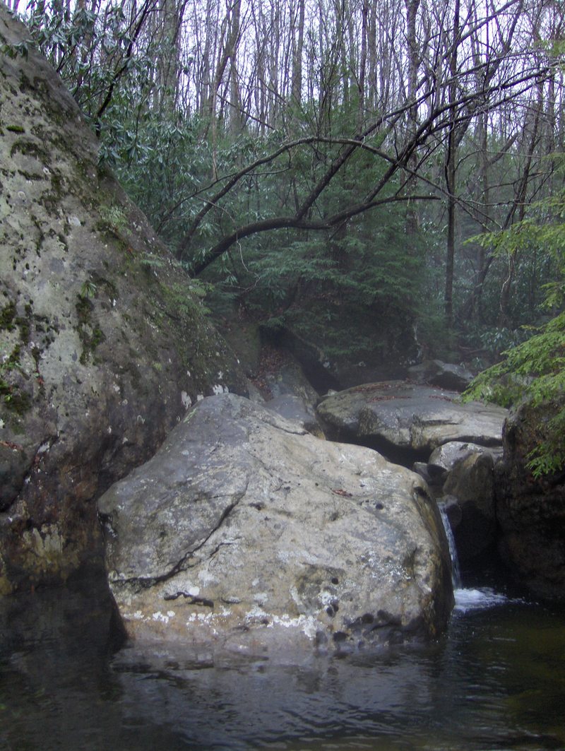
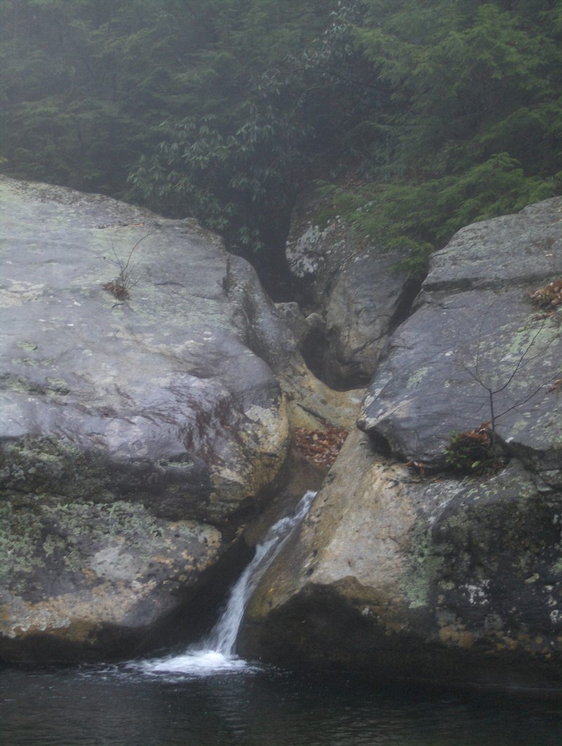
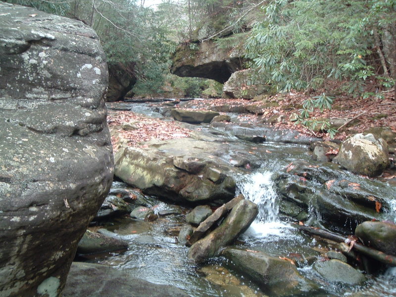
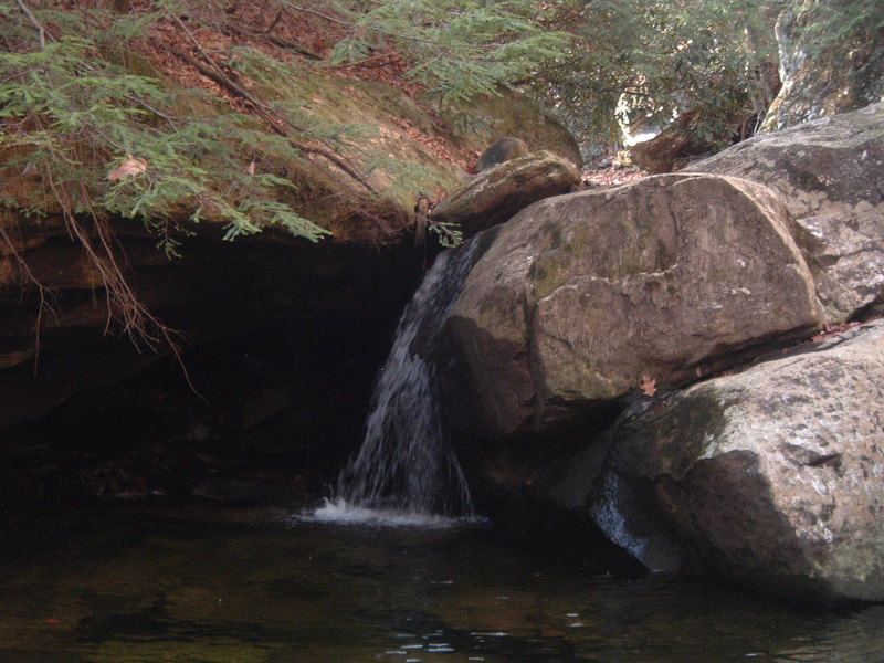
Photo
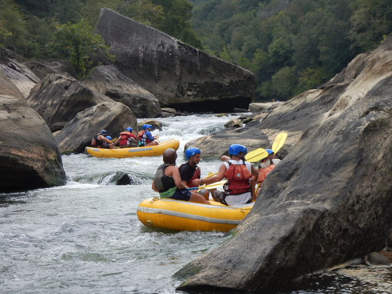
Photo courtesy of American Whitewater
Description
Take Out rapid presents a relatively straightforward passage through the Martins Fork section, with minimal technical challenges but requiring attentive navigation due to potential submerged rocks and shifting water channels. Paddlers should maintain a center-line approach and be prepared for potential hydraulic variations depending on current water levels and seasonal flow conditions.
Location
View Full Run
Cumberland Gap National Historical Park to route 987 (1.6 miles)
Cumberland, Martins Fork
V
1.7 mi
Current Conditions
5-Day Forecast
Whitewater data from
American Whitewater
American Whitewater