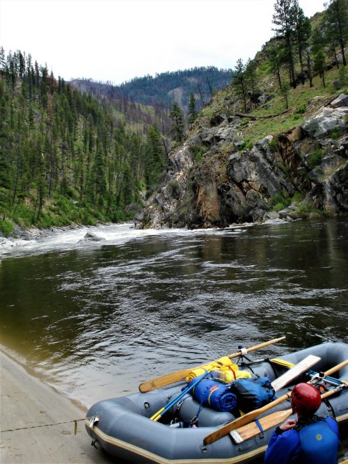
The Catacombs
Cumberland, Martins Fork - Cumberland Gap National Historical Park to route 987 (1.6 miles) (KY)
Gauge Conditions
Photo
Description
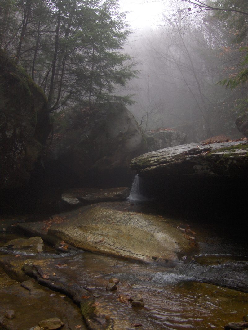
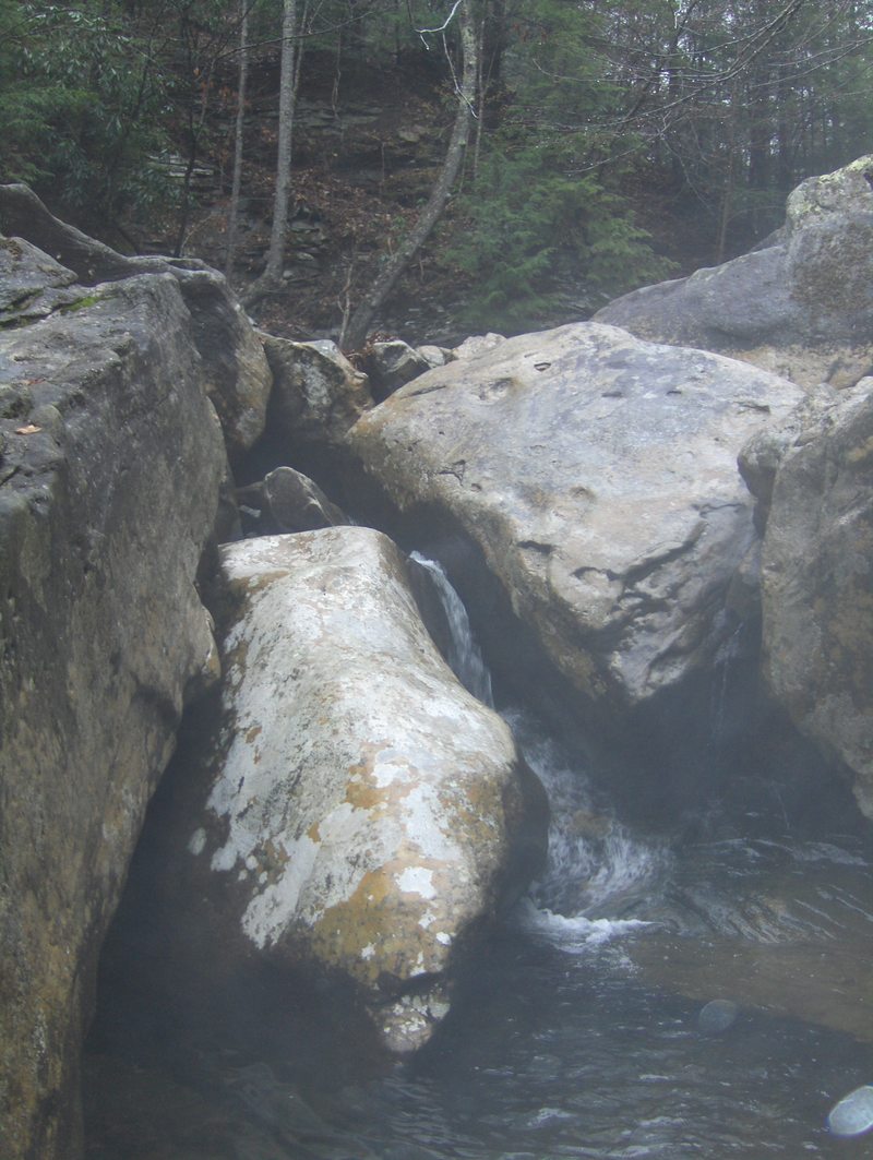
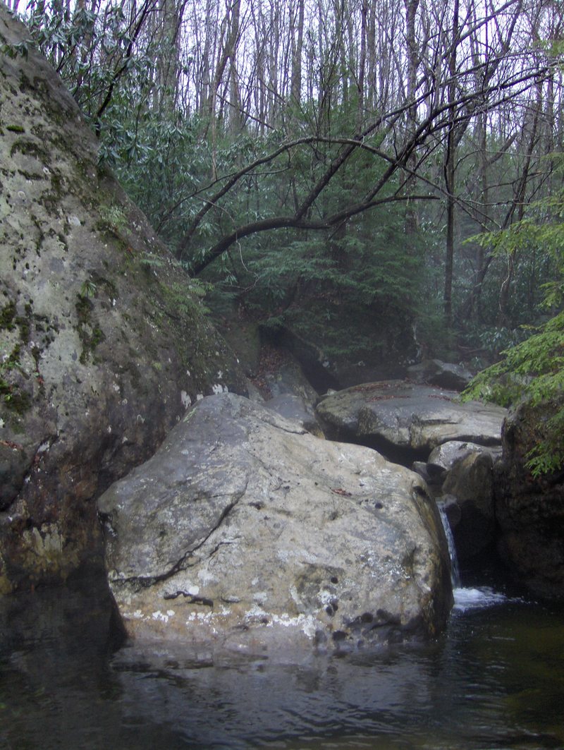
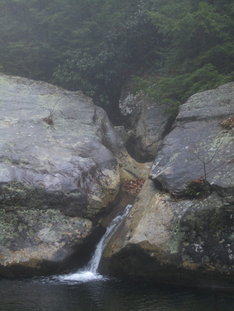
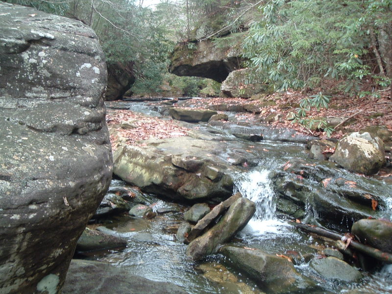
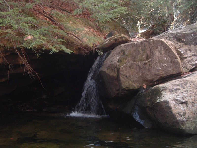
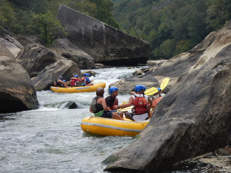
After a brief stretch of class 4 boogie below the holding cell, The creek drops into a tight bedrock section of three serious and quality drops. The first is a tight jumble that focuses the paddler against a narrow 4 foot slot agains the right bedrock wall, avoiding the channels to the left that are full of wood. Then the creek rounds a bend and drops through a bedrock corridor and slides off to the right over a 6 foot clapping drop and right into some bad undercuts. Drive straight through heading left and avoid the mess to your right. Then line up for the third walled in drop off a 5 foot ledge left of center against a wall through a hole and down a flume into the pool below.
Location
Current Conditions
5-Day Forecast
American Whitewater