Take-out
MI
Take Out
Sturgeon (Baraga/Houghton) - E) Sturgeon Gorge: Sturgeon Falls to NF2270/FSR193 (4.87 miles) (MI)
Gauge Conditions
Runnable: 400.0 – 2,000.0 CFS
Likely too low for reasonable whitewater run. Best flows are uncertain. Help out your fellow boaters by posting a comment about preferred flows.
Data from American Whitewater & USGS
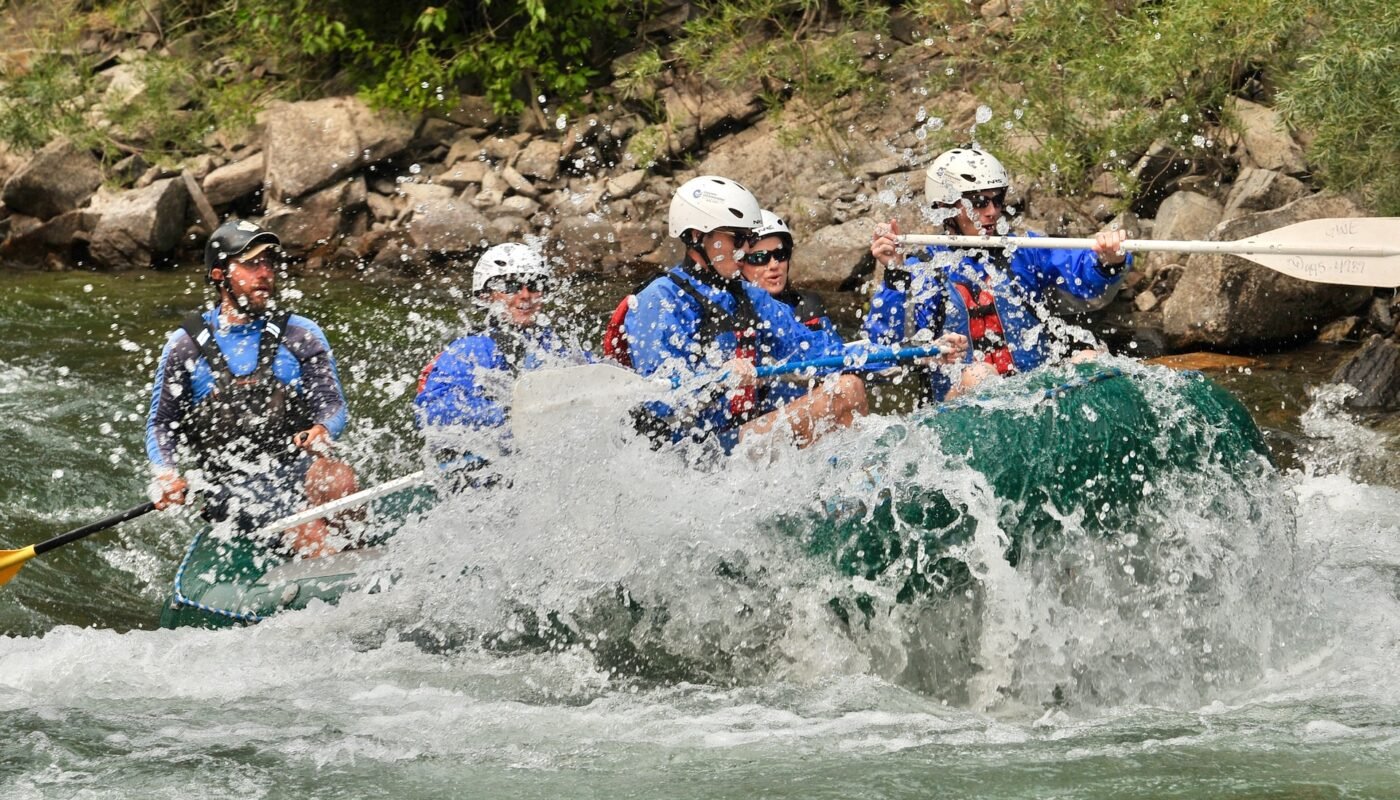
Photo
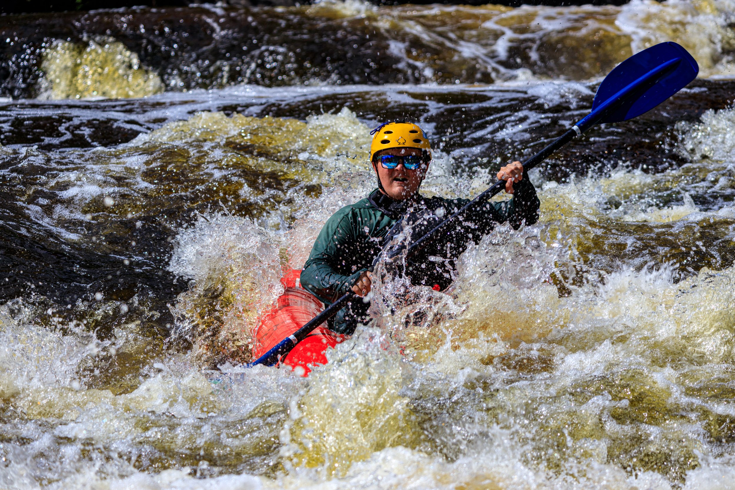
Photo courtesy of American Whitewater
Description
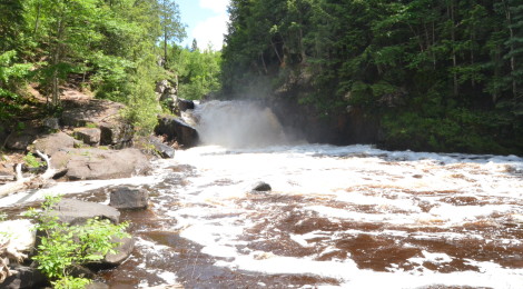
Take Out marks the terminus of the Sturgeon Gorge section, characterized by a gradual deceleration of water flow and potential debris accumulation near the takeout point. Paddlers should be aware of potential shallow areas and potential log jams or strainers near the exit point, requiring careful navigation and situational awareness as they approach the end of this river segment.
Location
View Full Run
E) Sturgeon Gorge: Sturgeon Falls to NF2270/FSR193 (4.87 miles)
Sturgeon (Baraga/Houghton)
II-III(V+)
4.7 mi
Current Conditions
5-Day Forecast
Whitewater data from
American Whitewater
American Whitewater