Gauge Conditions
Runnable: 125.0 – 600.0 CFS
Almost certainly too low for anything but boat abuse.
Data from American Whitewater & USGS
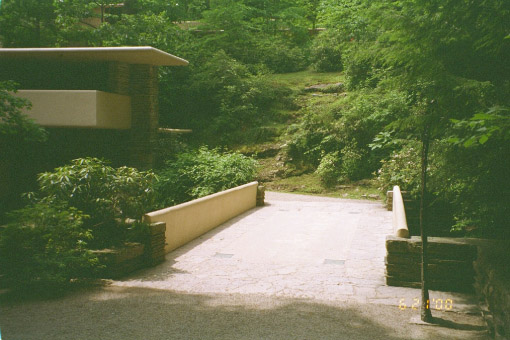
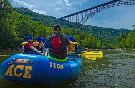
Photo

Photo courtesy of American Whitewater
Description
Take Out is the final rapid on this stretch, marking the end of the Pilgrim River run near the highway takeout. While specific technical details are limited, paddlers should be prepared for potential debris or strainers near the exit point and maintain situational awareness as they approach the takeout zone.
Location

View Full Run
Elsie Road to Hwy.41 (9.5 miles)
Pilgrim
II-IV
8.1 mi
Current Conditions
5-Day Forecast
Whitewater data from
American Whitewater
American Whitewater